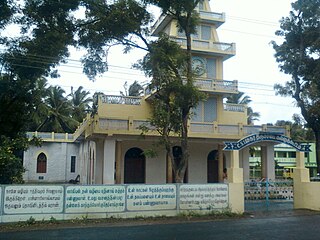
Keeramangalam is a panchayat town in Pudukkottai District in the Indian state of Tamil Nadu.

Boothapandi is a panchayat town in Kanyakumari district in the state of Tamil Nadu, India.

Devarshola is a panchayat town in The Nilgiris district in the state of Tamil Nadu, India.Devarshola comes under the administration of Gudalur revenue division and the taluk of Gudalur. It is one of the major tourist attractions in gudalur forest division and nearby to Mudumalai, Bandipur and Wayanad National parks. The state highway SH-98 Passing through the town which connects Gudalur and Sulthan Bathery.
Ezhudesam is a town panchayat in Kanniyakumari district in the state of Tamil Nadu, India.
Ganapathipuram is a panchayat town in Kanniyakumari district in the state of Tamil Nadu, India.
Huligal is a panchayat town in The Nilgiris district in the Indian state of Tamil Nadu.

Kallukoottam is a panchayat town in Kanniyakumari district in the Indian state of Tamil Nadu.
Kilpennathur is a Panchayat Town in Tiruvanamalai district in the Indian state of Tamil Nadu. Kilpennathur is one of the taluks of Tiruvannamalai district and an assembly constituency of Tamil Nadu. The MLA of Kilpennathur assembly constituency is DMK party Mr. K. Pichandi. Vettavalam is the most populous town panchayat in this taluk. Kilpennathur is located a 12.25 degrees latitude and 79.224 degrees longitude. Nearest towns are Avalurpet, Vettavalam, Gingee and Tiruvannamalai, and Chennai is about 177 km away.
Melachokkanathapuram is a panchayat town in Theni district in the Indian state of Tamil Nadu.
Mopperipalayam is a panchayat town in Coimbatore district in the Indian state of Tamil Nadu.
Nallur (Nalloor) is a panchayat town in Kanniyakumari district in the Indian state of Tamil Nadu.
Naranammalpuram is a panchayat town in Tirunelveli district in the Indian state of Tamil Nadu.
Peerkankaranai is a neighborhood in the city of Tambaram, situated within the Chennai Metropolitan Area, Tamil Nadu, India.
Peralam is a panchayat town in Thiruvarur district in the Indian state of Tamil Nadu.
Pooluvapatti is a panchayat town in Coimbatore district in the Indian state of Tamil Nadu. It is a western suburb of Coimbatore and lies close to Kerala border. Pooluvapatti comes under Coimbatore Municipal Corporation.
Sayalgudi is a town panchayat in Ramanathapuram district of Tamil Nadu State in India.
Thengamputhur is a panchayat town in Kanyakumari district in the Indian state of Tamil Nadu.
Thirumalayampalayam is a panchayat town in Coimbatore district in the Indian state of Tamil Nadu. It is an important suburb of Coimbatore.
Thiruporur is a panchayat town in Chengalpattu district in the Indian state of Tamil Nadu. The Thiruporur Kandaswamy temple is situated in the center of the town. There is a large temple tank in the vicinity of the temple. Thiruporur is located on Old Mahabalipuram Road and is flanked by Kelambakkam on one side and Alathur Pharmaceutical Industrial Estate on the other side, both of which are also on Old Mahabalipuram Road.
Theroor is a panchayat town in Kanniyakumari district in the Indian state of Tamil Nadu.


