Rouyn-Noranda is a city on Osisko Lake in the Abitibi-Témiscamingue region of Quebec, Canada.

Abitibi Regional County Municipality is a regional county municipality in the Abitibi-Témiscamingue region of Quebec. The seat is Amos.

Abitibi—Témiscamingue is a federal electoral district in Quebec, Canada, that has been represented in the House of Commons of Canada since 2004. The area was also represented by the electoral district of Témiscamingue from 1968 until 2004.

Témiscamingue is a regional county municipality in the Abitibi-Témiscamingue region of western Quebec, Canada. The county seat is Ville-Marie.
Abitibi-Ouest is a provincial electoral district in the Abitibi-Témiscamingue region of Quebec, Canada, that elects members to the National Assembly of Quebec. The district includes the municipalities of Amos, La Sarre and Duparquet.

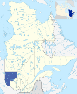
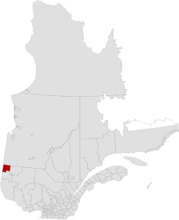
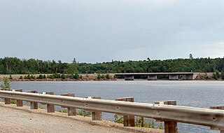
Duparquet is a ville in northwestern Quebec, Canada in the MRC d'Abitibi-Ouest. It covers 157.4 km2 (60.8 sq mi) and had a population of 657 as of the Canada 2011 Census.

Lac-Despinassy is an unorganized territory in the Canadian province of Quebec, located within the Abitibi Regional County Municipality. The area is east of the municipality of Saint-Dominique-du-Rosaire, north of La Morandière, Rochebaucourt and the parish municipality of Senneterre, and west of the city of Senneterre.

Les Lacs-du-Témiscamingue is a vast unorganized territory in the Abitibi-Témiscamingue region of Quebec, Canada. With a surface area of 10,410 square kilometres (4,020 sq mi), it takes up over 60% of the eastern portion of the Témiscamingue Regional County Municipality.

Laniel is an unorganized territory in the Témiscamingue Regional County Municipality, Abitibi-Témiscamingue region, Quebec, Canada. It surrounds the northern portion of Lake Kipawa.

Lac-Lenôtre is an unorganized territory in the Outaouais region of Quebec, Canada. It is one of the five unorganized territories in the La Vallée-de-la-Gatineau Regional County Municipality. It is named after Lake Lenôtre.
Lac-Moselle is an unorganized territory in the Outaouais region of Quebec, Canada. It is one of the five unorganized and unpopulated wilderness areas in the La Vallée-de-la-Gatineau Regional County Municipality. It is named after Lake Moselle.

Rivière-Ojima is an unorganized territory in the Abitibi-Témiscamingue region of Quebec, Canada. It consists of two non-contiguous areas in the Abitibi-Ouest Regional County Municipality, separated by the municipality of Authier-Nord. The communities of Languedoc and Saint-Eugène-de-Chazel are located within its boundaries.
Réservoir-Dozois is an unorganized territory in the Abitibi-Témiscamingue region of Quebec, Canada. It is the largest of five unorganized territories in the La Vallée-de-l'Or Regional County Municipality and entirely part of the La Vérendrye Wildlife Reserve.

Matchi-Manitou is an unorganized territory in the Abitibi-Témiscamingue region of Quebec, Canada. It is one of five unorganized territories in La Vallée-de-l'Or Regional County Municipality.

Lac-Granet is an unorganized territory in the Abitibi-Témiscamingue region of Quebec, Canada. It is one of five unorganized territories in the La Vallée-de-l'Or Regional County Municipality.

Lac-Metei is an unorganized territory in the Abitibi-Témiscamingue region of Quebec, Canada. It is one of five unorganized territories in the La Vallée-de-l'Or Regional County Municipality.

Lac-Douaire is an unorganized territory of Quebec, Canada. It is the largest geo-political division in the Laurentides region, and one of eleven unorganized areas in the Antoine-Labelle Regional County Municipality.

Lac-Marguerite is an unorganized territory in Antoine-Labelle Regional County Municipality in the Laurentides region of Quebec, Canada.

Rivière-Koksoak is a very large unorganized territory in the Kativik Regional Government territory in the Nord-du-Québec region of Quebec. It is named after the Koksoak River.