| Lac des Vaux | |
|---|---|
 Frozen lake in the ski area of Verbier | |
 Lac des Vaux  Lac des Vaux  Lac des Vaux  Lac des Vaux  Lac des Vaux | |
| Location | Riddes, Valais |
| Coordinates | 46°6′28″N7°16′21″E / 46.10778°N 7.27250°E |
| Primary outflows | La Fare |
| Basin countries | Switzerland |
| Surface area | 13 ha (32 acres) |
| Surface elevation | 2,543 m (8,343 ft) |
| Location | |
 | |
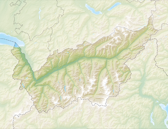
Lac des Vaux is a lake above La Tzoumaz and Verbier in the canton of Valais, Switzerland. The lake is located in the municipality of Riddes-La Tzoumaz.