| Langtang | |
|---|---|
 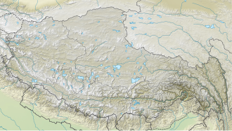 | |
 Interactive map of Langtang | |
| Type | Valley glacier |
| Location | Nepal |
| Coordinates | 28°15′23″N85°30′59″E / 28.2564°N 85.5164°E |
| Area | 46.5 km2 (18.0 sq mi) |
| Length | 18 km (11 mi) |
The Langtang Glacier is a short glacier in Nepal, located in Langtang in the Himalayan mountains. As of 2019 [update] the glacier has a length of 18 km and covers an area of 46.5 km2. [1]