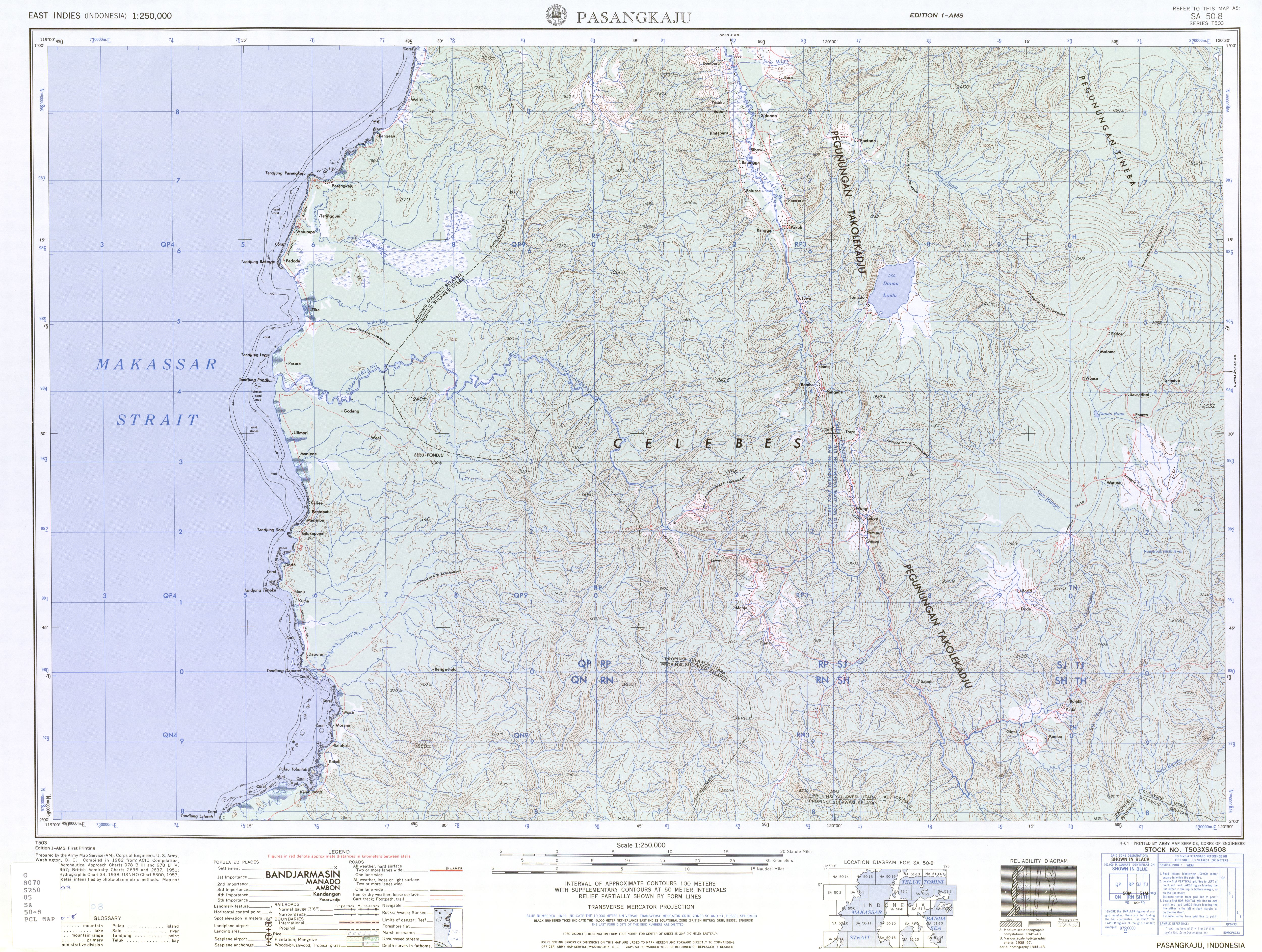
| Lariang River Sungai Lariang, Salu Lariang, Uwai Lariang | |
|---|---|
 | |
| Native name | Salo Lariang |
| Physical characteristics | |
| Source | |
| • location | Sulawesi |
| Mouth | Macassar Strait |
• location | Lariang, West Sulawesi |
• coordinates | 1°25′00″S119°17′31″E / 1.41667°S 119.29194°E |
• elevation | 0 m (0 ft) |
| Length | 245 km (152 mi) |
| Basin size | 7,069 km2 (2,729 sq mi) |
| Discharge | |
| • location | Near mouth |
| • average | 224 m3/s (7,900 cu ft/s) |

Lariang
Mouth of Lariang River
The Lariang River is a river in Sulawesi, Indonesia. [1]