Benewah County is a county located in the northwest part of the U.S. state of Idaho. As of the 2010 United States Census the county had a population of 9,285. The county seat and largest city is St. Maries, which has some area inside the Coeur d'Alene Reservation.

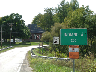
Indianola is a village in Carroll Township, Vermilion County, Illinois, United States. It is part of the Danville, Illinois Metropolitan Statistical Area. The population was 207 at the 2000 census.
Northwest St. Louis is an unorganized territory in Saint Louis County, Minnesota, United States. The population was 306 at the 2000 census.

God's Pocket Marine Provincial Park is a provincial park in southwest British Columbia, Canada, established July 12, 1995. It is well known as a cold water scuba diving and kayaking destination. The park is 2,036 hectares in size, and includes two main islands, Hurst and Bell islands respectively, and many smaller isles.

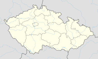
This is a list of the extreme points of the Czech Republic:
Raduša is a village located in the Užice municipality of Serbia. In the 2002 census, the village had a population of 524.
Weddleville is an unincorporated community in Carr Township, Jackson County, Indiana.

Port-Royal Abbey was an abbey in Paris that was a stronghold of Jansenism. It was first built in 1626 to relieve pressure of numbers on the mother house at Port-Royal-des-Champs.
Ochodne is a village in the administrative district of Gmina Trojanów, within Garwolin County, Masovian Voivodeship, in east-central Poland. It lies approximately 23 kilometres (14 mi) south-east of Garwolin and 78 km (48 mi) south-east of Warsaw.

Pont du Garigliano is a station in Line C of the Île-de-France's express suburban rail system, the Réseau Express Régional (RER). It is located in the 15th arrondissement of Paris, near the Seine. The station was originally named Boulevard Victor when it first opened, but it was renamed Boulevard Victor–Pont du Garigliano in 2006 for the opening of tramway Line 3, then renamed again in early 2010.
Piaski Morąskie is a village in the administrative district of Gmina Stary Dzierzgoń, within Sztum County, Pomeranian Voivodeship, in northern Poland. It lies approximately 2 kilometres (1 mi) west of Stary Dzierzgoń, 25 km (16 mi) east of Sztum, and 77 km (48 mi) south-east of the regional capital Gdańsk.
Wood Lake National Wildlife Refuge is a National Wildlife Refuge in Benson County, North Dakota. It is managed under Devils Lake Wetland Management District.

Teleport is a neighborhood of Amsterdam, Netherlands in the urban district of Westpoort.
Jastrebac is a village in the municipality of Bujanovac, Serbia. According to the 2002 census, the town has a population of 69 people.
Väljamõisa is a village in Saaremaa Parish, Saare County in western Estonia.
Koritnik is a village in the municipality of Višegrad, Bosnia and Herzegovina.

Gottröra Church is a church in the village of Gottröra in Norrtälje Municipality, Sweden. The church was originally raised in the 12th century, and has been rebuilt several times.
Courtney Corner is an unincorporated community in York Township, Steuben County, in the U.S. state of Indiana.
Bliss is an unincorporated community in northeast Washington County, in the U.S. state of Missouri. The community is on Mineral Fork adjacent to Missouri Route 47.
The Battle of Xinzheng was fought between the forces of Chiang Kai-shek and Feng Yuxiang. Feng's army abandoned the neighboring city of Zhengzhou as a result. The 11th Division of the National Revolutionary Army was the first to enter the city, followed by the 47th Division and 48th Division.
This page is based on this
Wikipedia article Text is available under the
CC BY-SA 4.0 license; additional terms may apply.
Images, videos and audio are available under their respective licenses.


