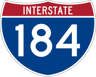
Interstate 184 (I-184) is a short auxiliary Interstate Highway in Boise, Idaho, United States. It is a spur route of I-84 that connects the freeway to Downtown Boise, terminating at US Highway 20 (US 20) and US 26 on the west side of the Boise River.

U.S. Route 195 (US 195) is a north–south United States Highway, of which all but 0.65 miles of its 94.02 miles are within the state of Washington. The highway starts in rural Idaho north of the city of Lewiston as a state highway in an interchange with US 95. As the road crosses into Washington it becomes a state highway that connects communities in the Palouse region of Eastern Washington. US 195 travels north, serving the cities of Pullman, Colfax and Rosalia in Whitman County before continuing into Spokane County to its terminus in the city of Spokane at an interchange with Interstate 90 (I-90).

Interstate 86 (I-86) is an east–west intrastate Interstate Highway located entirely within the state of Idaho. It runs approximately 63 miles (101 km) from an intersection with I-84 east of Declo in rural Cassia County, to an intersection with I-15 in Chubbuck, just north of Pocatello. The highway is part of the main route from Boise and Twin Falls to Idaho Falls and the upper Snake River region.

Minnesota State Highway 200 (MN 200) is a 201.203-mile-long (323.805 km) highway in northwest and northeast Minnesota, which runs from North Dakota Highway 200 at the North Dakota state line near Halstad, and continues east to its eastern terminus at its intersection with U.S. Highway 2 in Northeast Aitkin County, 9-miles west of Floodwood.

State Route 270 (SR 270) is a state highway in Whitman County, Washington, United States. It connects the city of Pullman to U.S. Route 195 (US 195) at its west end and Idaho State Highway 8 near Moscow, Idaho, at its east end. The 10-mile-long (16 km) highway is one of the main roads in Pullman and connects the campuses of Washington State University and the University of Idaho.

Interstate 84 (I-84) is a part of the Interstate Highway System that links Portland, Oregon, to I-80 near Echo, Utah. The 117.38-mile-long (188.90 km) segment in the US state of Utah is the shortest of any of the three states the western I-84 passes through and contains the eastern terminus of the highway. I-84 enters Box Elder County near Snowville before becoming concurrent with I-15 in Tremonton. The concurrent highways travel south through Brigham City and Ogden and separate near Ogden-Hinckley Airport. Turing east along the Davis County border, I-84 intersects US Route 89 (US-89) and enters Weber Canyon as well as Morgan County. While in Morgan County, I-84 passes the Devil's Gate-Weber Hydroelectric Power Plant and Devil's Slide rock formation. Past Morgan, the highway crosses into Summit County, past the Thousand Mile Tree before reaching its eastern terminus at I-80 near Echo.

State Highway 3 (SH-3) is a state highway in northern Idaho, connecting U.S. Route 12 near Spalding, east of Lewiston, with Interstate 90 near Rose Lake, east of Coeur d'Alene. It is 117.68 miles (189.4 km) in length and runs north–south, east of and generally parallel to Idaho's primary north–south highway, U.S. Route 95.

State Highway 28 (SH-28) is a 135.645-mile-long (218.299 km) state highway in Idaho which runs from Idaho State Highway 33 (SH-33) near Mud Lake to U.S. Route 93 in Salmon. The entire length of the route is designated as the Sacajawea Historic Byway by the state of Idaho.

U.S. Route 30 (US 30) runs northwest–southeast across the southern half of lower Idaho for 455.481 miles (733.026 km). US 30 enters the state from Oregon across the Snake River in Fruitland and exits into Wyoming east of Dingle. US 30 runs through the large population centers of Boise, Twin Falls, and Pocatello, as well as a plethora of smaller communities from Fruitland to Montpelier. The Thousand Springs Scenic Byway is a picturesque section of US 30 in southern Idaho between the towns of Bliss and Buhl, dipping down into the Hagerman Valley and a canyon of the Snake River.

State Highway 1 (SH-1) is a state highway in Boundary County, in the U.S. state of Idaho. It extends 11.185 miles (18.00 km) from U.S. Route 95 (US-95) east of Copeland, north to British Columbia Highway 21 (BC 21) in Porthill. The route serves as a connector between Bonners Ferry, via US-95 south, Porthill, and Creston, BC. The highway is one of two border crossings from Idaho into British Columbia. The other crossing is at the US-95/BC 95 in Eastport. The highway is also known for being the only state highway in Boundary County, the two other highways are US-95 and US-2. The highway is also part of the International Selkirk Loop, the only international scenic byway in North America.

U.S. Highway 26 (US-26) runs east–west across south central Idaho for 402.5 miles (647.8 km). US-26 enters the state from Oregon across the Snake River east of Nyssa, Oregon, concurrent with US-20 and exits into Wyoming northwest of Alpine. US-26 runs through the large population centers of Boise and Idaho Falls, as well as the smaller communities of Parma, Notus, Garden City, Shoshone, Richfield, Carey, Arco, Blackfoot, Swan Valley, and Irwin.

Several special routes of U.S. Route 95 exist. In order from south to north they are as follows.

State Highway 22 (SH-22) is a 43.936-mile-long (70.708 km) state highway in Idaho from SH-33 to Interstate 15 (I-15) in Dubois.

State Highway 19 (SH-19) is a state highway in Idaho from the Oregon state line to Interstate 84 (I-84) and U.S. Route 30 (US 30) in Caldwell. SH-19 is signed as an east–west highway.
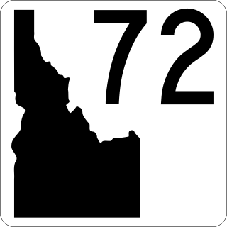
State Highway 72 (SH‑72) is a 1.989-mile (3.201 km) state highway in Payette County, Idaho, United States, that connects U.S. Route 30 (US 30), south of New Plymouth, with Idaho State Highway 52 (SH‑52) in Hamilton Corner. SH‑72 is maintained by the Idaho Transportation Department.
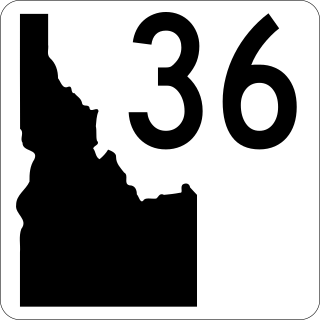
State Highway 36 (SH-36) is a 73.313-mile-long (117.986 km) east-west state highway located in the southeast part of the U.S. state of Idaho. SH-36 runs from Interstate 15 (I-15) near Malad City to U.S. Route 89 (US-89) near Montpelier. The highway is maintained by the Idaho Transportation Department.
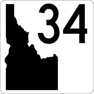
State Highway 34 (SH-34) is a state highway serving Franklin and Caribou counties in southeastern Idaho. The highway runs northeasterly along the Bear River from Preston towards Soda Springs and the Wyoming state line, where it terminates and becomes Wyoming Highway 239.
State Highway 81 (SH-81) is a state highway in Cassia County, Idaho. The highway runs for 33.978 miles (54.682 km) from SH-77 in Malta to U.S. Route 30 (US-30) in Burley. It also has a short spur route connecting the highway to Interstate 84 (I-84) at the Yale Interchange.


