Related Research Articles

East Stour is a village and civil parish in the ceremonial county of Dorset in southern England. It lies within the Dorset administrative district, about two miles south of the town of Gillingham. The village is 1⁄2 mile from the east bank of the River Stour in the Blackmore Vale and two miles west of the broadly conical local landmark Duncliffe Hill. Above the west bank of the river, about one mile away, is the village of West Stour. The A30 London to Penzance road passes through the village. In the 2011 census the civil parish had a population of 573.

Shaftesbury is a town and civil parish in Dorset, England. It is on the A30 road, 20 miles west of Salisbury, near the border with Wiltshire. It is the only significant hilltop settlement in Dorset, being built about 215 metres above sea level on a greensand hill on the edge of Cranborne Chase.

Gillingham is a town and civil parish in the Blackmore Vale area of Dorset, England. It lies on the B3095 and B3081 roads, approximately four miles south of the A303 trunk road and five miles northwest of Shaftesbury. It is the most northerly town in the county. In the 2011 census the civil parish had a population of 11,756. The neighbouring hamlets of Peacemarsh, Bay and Wyke have become part of Gillingham as it has expanded.

North Dorset was a local government district in Dorset, England, between 1974 and 2019. Its area was largely rural, but included the towns of Blandford Forum, Gillingham, Shaftesbury, Stalbridge and Sturminster Newton. Much of North Dorset was in the River Stour valley, known as the Blackmore Vale. The economy of North Dorset was largely based on dairy agriculture.

Wimborne St Giles is a village and civil parish in east Dorset, England, on Cranborne Chase, seven miles north of Wimborne Minster and 12 miles north of Poole. The village lies within the Shaftesbury estate, owned by the Earl of Shaftesbury. A tributary of the River Allen, formerly known as the Wimborne, snakes its way through the village.

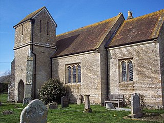
Fifehead Magdalen is a small village and civil parish in the county of Dorset in southern England. It lies within the Blackmore Vale, about three miles south-southwest of Gillingham and five miles west of Shaftesbury. It is sited on Corallian limestone soil and surrounded by Oxford Clay, about 1⁄4 mile from the west bank of the River Stour. Its name means "the place of five hides dedicated to [St] Magdalene". In 2013 the estimated population of the parish was 80. The village was a venue for stave dances.

Motcombe is a village and civil parish in north Dorset, England. It lies about two miles north of Shaftesbury. It is sited on Kimmeridge clay soil beneath hills at the edge of the Blackmore Vale. The parish is one of the largest in Dorset. In the 2011 census the parish had 611 dwellings, 564 households and a population of 1,474.

Sutton Waldron is a village and civil parish in north Dorset, England, situated on the A350 road between Iwerne Minster and Fontmell Magna, in the Blackmore Vale under the scarp of Cranborne Chase, 8 miles north of Blandford Forum and 5 miles south of Shaftesbury. In the 2011 census the parish had 93 dwellings, 87 households and a population of 200.
Todber is a village and civil parish in the county of Dorset in southern England. It lies in the Blackmore Vale, about five miles southwest of Shaftesbury. The underlying geology is Corallian limestone. In the 2011 census the parish had 55 households and a population of 140.

Donhead St Mary is a village and civil parish in southwest Wiltshire, England, on the county border with Dorset. The village lies about 2+1⁄2 miles (4.0 km) east of the Dorset town of Shaftesbury and stands on high ground above the River Nadder, which rises in the parish.

Dorset is a rural county in south west England. Its archaeology documents much of the history of southern England.

Gillingham railway station is in Gillingham, Dorset, England. It is on the West of England Main Line, 105 miles 23 chains (169.4 km) down the line from London Waterloo. Today it is managed by South Western Railway. The main offices, designed by Sir William Tite, stand on the north side of the line.

Semley was a railway station in Wiltshire, England. It was served by trains on the West of England Main Line and was the railhead for the town of Shaftesbury, Dorset, 2+1⁄2 miles (4 km) to the south.
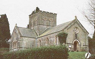
St John's Church is a Church of England parish church in Enmore Green, Dorset, England. The church was designed by George Alexander and built in 1842–43. It is a Grade II listed building.
References
- ↑ "St James' Shaftesbury – About us". ShaftesburyCofE.org.uk. 16 May 2013. Retrieved 23 January 2021.