Related Research Articles

Todd County is a county in the central part of the U.S. state of Minnesota. As of the 2020 census, the population was 25,262. Its county seat is Long Prairie.


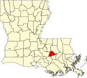
Evangeline Parish is a parish located in the U.S. state of Louisiana. As of the 2020 census, the population was 32,350. The parish seat is Ville Platte.

Colchester is a city in McDonough County, Illinois, United States. The population was 1,108 at the 2020 census, down from 1,401 in 2010. The city is named after the city of Colchester, England.

Iowa is a town in Calcasieu Parish, Louisiana, United States. The population was 3,436 in 2020. It is part of the Lake Charles metropolitan statistical area.

The Capture of Fort Bute signalled the opening of Spanish intervention in the American Revolutionary War on the side of France and the United States. Mustering an ad hoc army of Spanish regulars, Acadian militia, and native levies under Gilbert Antoine de St. Maxent, Bernardo de Gálvez, the Governor of Spanish Louisiana stormed and captured the small British frontier post on Bayou Manchac on September 7, 1779.

The County of Stettler No. 6 is a municipal district in central Alberta, Canada.
Elmwood Park High School, or EPHS, is a public four-year high school located in River Grove, Illinois, a western suburb of Chicago, Illinois, in the United States. It is part of Elmwood Park Community Unit School District 401.
KBYR is an American commercial AM radio station programming talk in Anchorage, Alaska. 700 AM is a North American clear-channel frequency. WLW in Cincinnati, Ohio is also a Class A station on this frequency.

The Mid-North District or Midtown-North is a historic district in the Lincoln Park community area of Chicago, Illinois. The district was built from 1865 to 1900 by various architects. It is bounded by Fullerton Avenue to the north, Armitage Avenue to the south, Lincoln Avenue to the west and Clark Street to the east. It was designated a Chicago Landmark on August 31, 1977.

Ramsey is an unincorporated community in Jackson Township, Harrison County, in the U.S. state of Indiana.
Linkwood Wildlife Management Area is a 313-acre (1.27 km2) Wildlife Management Area located in Dorchester County, Maryland, near the town of Linkwood.
Kenville is an unincorporated community in the Municipality of Swan Valley West, Manitoba, Canada.

Eilean Ighe is a small tidal island near Arisaig in the Inner Hebrides of Scotland.

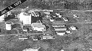
Antigo Air Force Station is a closed United States Air Force General Surveillance Radar station. It is located 7.5 miles (12.1 km) south-southwest of Antigo, Wisconsin. It was closed in 1977 and is currently classified as a high risk toxic waste site involving groundwater, sediment, soil and surface water.

Dumha Éige is a village in the south west of Achill Island on the west coast of Ireland in County Mayo. It is in the Gaeltacht and is the home of Coláiste Acla. It once had a National School. The scenic area is part of the Achill Atlantic Drive. Dumha Éige/Dooega has a Blue Flag beach, a church, a pub and guesthouse.

Sandcut is an unincorporated community in Otter Creek Township, Vigo County, in the U.S. state of Indiana. It is part of the Terre Haute metropolitan area. Little Gundy Creek flows on the southeastern side of Sandcut. Sandcut also has a volunteer fire department.

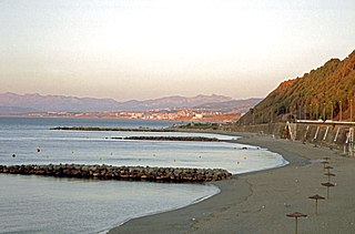
Playa del Chorrillo is a beach of Ceuta, a Spanish city bordering northern Morocco. Like the Playa de la Ribera, it lies to the south of the isthmus. It has a length of about 1200 metres and average width of 30 metres, with black sand.
Black Forest is an extinct town in Elko County, in the U.S. state of Nevada.

Fort Bute (1766–1779) was a colonial fort built by the British in 1766 to protect the confluence of Bayou Manchac with the Mississippi River and was named in honor of the Earl of Bute. Fort Bute was located on Bayou Manchac, about 115 miles (185 km) up the Mississippi River from New Orleans, on the far western border of British West Florida. It was one of the three outposts maintained by the British in the lower Mississippi along with Fort Panmure and the Baton Rouge outpost.
References
30°19′25″N90°55′20″W / 30.32361°N 90.92222°W
