Lodano

Last updated
2003 map with Lodano. Karte Gemeinden des Bezirks Vallemaggia 2003.png
2003 map with Lodano.
Coat of arms of Lodano. Blason Lodano Tessin Suisse.svg
Coat of arms of Lodano.

Lodano is a village and former municipality in the district of Vallemaggia in the canton of Ticino, Switzerland.

Canton of Ticino Canton of Switzerland

The canton of Ticino, formally the Republic and Canton of Ticino is the southernmost canton of Switzerland. Ticino borders the canton of Uri to the north, the canton of Valais to the west, the canton of Graubünden to the northeast, Italy's regions of Piedmont and Lombardy to the south and it surrounds the small Italian enclave of Campione d'Italia.

Switzerland federal republic in Central Europe

Switzerland, officially the Swiss Confederation, is a country situated in western, central, and southern Europe. It consists of 26 cantons, and the city of Bern is the seat of the federal authorities. The sovereign state is a federal republic bordered by Italy to the south, France to the west, Germany to the north, and Austria and Liechtenstein to the east. Switzerland is a landlocked country geographically divided between the Alps, the Swiss Plateau and the Jura, spanning a total area of 41,285 km2 (15,940 sq mi). While the Alps occupy the greater part of the territory, the Swiss population of approximately 8.5 million people is concentrated mostly on the plateau, where the largest cities are to be found: among them are the two global cities and economic centres Zürich and Geneva.

It was first recorded in 1224 as Lodino.

The municipality had 70 inhabitants in 1709, which increased to 85 in 1801, 140 in 1850 and 141 in 1900. It then declined to 134 in 1950 and 86 in 1970, before rising again, to 171 in 2000 and 191 in 2003. The municipality had an area of 13.76 km².

In 2004 the municipality was incorporated into the larger, neighboring municipality Maggia.

Related Research Articles

Valle Maggia valley

Valle Maggia is an alpine valley of the river Maggia in the canton of Ticino, the Italian-spoken canton of Switzerland.

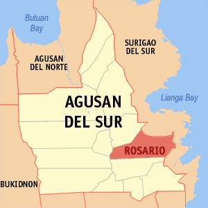
Rosario, Agusan del Sur Municipality in Caraga, Philippines

Rosario, officially the Municipality of Rosario,, is a 2nd class municipality in the province of Agusan del Sur, Philippines. According to the 2015 census, it has a population of 46,683 people.

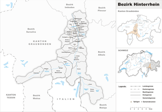
Hinterrhein District District in Switzerland

Hinterrhein District is a former administrative district in the canton of Graubünden, Switzerland. It had an area of 617.67 km2 (238.48 sq mi) and had a population of 13,179 in 2015. Much of the district became part of the Viamala Region on 1 January 2017 as part of a reorganization of the Canton.

Uster District is one of the twelve districts of the canton of Zürich, Switzerland. Its capital is the city of Uster. The German-speaking district has a population of 130,643.

Diessenhofen District District in Switzerland

Diessenhofen District is a former district of the canton of Thurgau in Switzerland. It had a population of 6,621. Its capital was the town of Diessenhofen.

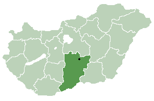
Tabdi Place in Bács-Kiskun, Hungary

Tabdi is a village and municipality in Bács-Kiskun county, in the Southern Great Plain region of southern Hungary.

Goričan Municipality in Međimurje, Croatia

Goričan is a municipality in Međimurje County, Croatia.

Corzoneso is a village and former municipality in the canton of Ticino, Switzerland.

Saldaña de Burgos Municipality and town in Castile and León, Spain

Saldaña de Burgos is a municipality and town located in the province of Burgos, Castile and León, Spain. According to the 2004 census (INE), the municipality has a population of 132 inhabitants.

Wülflingen District in Zürich, Switzerland

Wülflingen is a district in the Swiss city of Winterthur, situated in the lower Töss Valley. It is district number six, and comprises the quarters Weinberg, Oberfeld, Lindenplatz, Niederfeld, Neuburg, Hardau, Härti and Taggenberg..

Auressio is a village and former municipality in the canton of Ticino, Switzerland.

Moghegno

Moghegno is a village and former municipality in the district of Vallemaggia in the canton of Ticino, Switzerland.

Pijijiapan Municipality in Chiapas, Mexico

Pijijiapan is a town and municipality in the Mexican state of Chiapas, on the coast of the Pacific Ocean about midway between the border with the state of Oaxaca and the international frontier with Guatemala.

Cillik is a village in the municipality of Qazma in the Balakan Rayon of Azerbaijan.

Öküzovtala is a village in the municipality of Qazma in the Balakan Rayon of Azerbaijan.

Qazbölük is a village in the municipality of Meşəşambul in the Balakan Rayon of Azerbaijan.

El Abadia District District in Aïn Defla Province, Algeria

El Abadia District is a district of Aïn Defla Province, Algeria.

Tornavacas municipality in province of Cáceres, Spain

Tornavacas is a municipality located in the province of Cáceres, in the autonomous community of Extremadura, Spain. The municipality covers an area of 595 square kilometres (230 sq mi) and as of 2011 had a population of 1170 people.

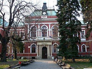
Bogoslov village in Bulgaria

Bogoslov is a village in Kyustendil Municipality, Kyustendil Province, Bulgaria.

Albula Region is one of the eleven administrative districts in the canton of Graubünden in Switzerland. It had an area of 683.51 square kilometers (263.90 sq mi) and a population of 8,102 .. It was created on 1 January 2017 as part of a reorganization of the Canton.

References

<i>Historical Dictionary of Switzerland</i> encyclopedia on the history of Switzerland

The Historical Dictionary of Switzerland is an encyclopedia on the history of Switzerland that aims to take into account the results of modern historical research in a manner accessible to a broader audience.

Coordinates: 46°15′N8°41′E / 46.250°N 8.683°E / 46.250; 8.683

Geographic coordinate system Coordinate system

A geographic coordinate system is a coordinate system that enables every location on Earth to be specified by a set of numbers, letters or symbols. The coordinates are often chosen such that one of the numbers represents a vertical position and two or three of the numbers represent a horizontal position; alternatively, a geographic position may be expressed in a combined three-dimensional Cartesian vector. A common choice of coordinates is latitude, longitude and elevation. To specify a location on a plane requires a map projection.