Machipanda | |
|---|---|
Town | |
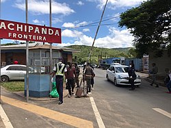 Machipanda border post, Mozambique | |
 | |
| Coordinates: 18°59′19″S32°44′03″E / 18.98861°S 32.73417°E | |
| Country | Mozambique |
| District | Manica |
| Province | Manica |
| Time zone | UTC+2:00 (CAT) |
Machipanda is a town in Manica District, in the middle of Manica Province, Mozambique, near the border with Zimbabwe.