| Mahaut River Mahaut | |
|---|---|
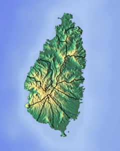 Location of mouth | |
| Location | |
| Country | Saint Lucia |
| Region | Soufrière Quarter |
| Physical characteristics | |
| Mouth | Caribbean Sea |
• coordinates | 13°53′32″N61°04′25″W / 13.892304°N 61.073487°W |
The Mahaut River is a river in the Laborie Quarter of Saint Lucia. The mouth is at the Caribbean Sea. [1] [2]