
Kalvarija Municipality is one of 60 municipalities in Lithuania.
Šakiai District Municipality is one of 60 municipalities in Lithuania.
Kėdainiai District Municipality is one of 60 municipalities in Lithuania.
Vadakarai Kilpidagai - வடகரை கீழ்பிடாகை is a Town Panchayat in Tirunelveli district in the Indian state of Tamil Nadu.This town is spread across an area of 25 Sq.Km. and is one the growing Town Panchayat of Tirunelveli District, it is located along the foot hills of western ghats in the northern side of Hanumannathi River.
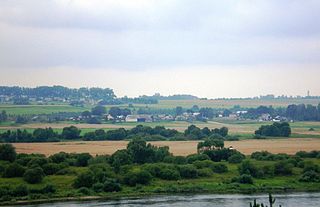
Półkoty is a village in the administrative district of Gmina Sejny, within Sejny County, Podlaskie Voivodeship, in north-eastern Poland, close to the border with Lithuania.
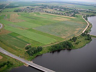
Wiktorowo is a village in the administrative district of Gmina Lubień Kujawski, within Włocławek County, Kuyavian-Pomeranian Voivodeship, in north-central Poland.
Górki-Sypniewo is a village in the administrative district of Gmina Piątnica, within Łomża County, Podlaskie Voivodeship, in north-eastern Poland.
Gawieniańce, is a village in the administrative district of Gmina Sejny, within Sejny County, Podlaskie Voivodeship, in north-eastern Poland, close to the border with Lithuania.
Podlaski is a village in the administrative district of Gmina Sejny, within Sejny County, Podlaskie Voivodeship, in north-eastern Poland, close to the border with Lithuania.

Czerwony Folwark is a village in the administrative district of Gmina Suwałki, within Suwałki County, Podlaskie Voivodeship, in north-eastern Poland.
Guri i Kuq is a mountain in the Prokletije in Kosovo. Reaching a height of 2,522 m (8,274 ft) high, it is one of the highest mountains in the range. North of the mountain is the Rugova Canyon. The Kopranik mountain are located just east of Žuti kamen. There is a lake near the summit of the mountain, the Guri i Kuq Lake.
San Vicente is one of 28 parishes in Salas, a municipality within the province and autonomous community of Asturias, in northern Spain.
Ibema is a municipality in the state of Paraná in the Southern Region of Brazil.
The Apostolic Nunciature to Pakistan is a Vatican Diplomatic Post equivalent to an Embassy.
Kasčiūnai is a village in Varėna district municipality, in Alytus County, in southeastern Lithuania. According to the 2001 census, the village has a population of 11 people.
Eerikulaid is an island belonging to the country of Estonia.
Rooglaid is an island belonging to the country of Estonia.

Djégbadji is a town and arrondissement in the Atlantique Department of southern Benin. It is an administrative division under the jurisdiction of the commune of Ouidah. According to the population census conducted by the Institut National de la Statistique Benin on February 15, 2002, the arrondissement had a total population of 4170.
Ouakpé-Daho is a town and arrondissement in the Atlantique Department of southern Benin. It is an administrative division under the jurisdiction of the commune of Ouidah. According to the population census conducted by the Institut National de la Statistique Benin on February 15, 2002, the arrondissement had a total population of 2941.
Savi is a town and arrondissement in the Atlantique Department of southern Benin. It is an administrative division under the jurisdiction of the commune of Ouidah. According to the population census conducted by the Institut National de la Statistique Benin on February 15, 2002, the arrondissement had a total population of 6949. It was previously the capital of the Kingdom of Whydah.


