
West Bromwich is a market town in the borough of Sandwell, West Midlands, England. Historically part of Staffordshire, it is 7 miles northwest of Birmingham. West Bromwich is part of the area known as the Black Country, in terms of geography, culture and dialect. West Bromwich had a population of 103,112 in the 2021 Census.
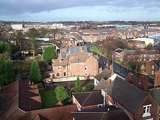
Tipton is an industrial town in the Metropolitan Borough of Sandwell in the West Midlands County in England. It had a population of 38,777 at the 2011 UK Census. It is located northwest of Birmingham and southeast of Wolverhampton. It is also contiguous with nearby towns of Darlaston, Dudley, Wednesbury and Bilston.

The Metropolitan Borough of Dudley is a metropolitan borough of West Midlands, England. It was created in 1974 following the Local Government Act 1972, through a merger of the existing Dudley County Borough with the municipal boroughs of Stourbridge and Halesowen.

Brierley Hill is a town and electoral ward in the Metropolitan Borough of Dudley, West Midlands, England, 3 miles south of Dudley and 1 mile north of Stourbridge. Part of the Black Country and in a heavily industrialised area, it has a population of 13,935 at the 2011 census. It is best known for glass and steel manufacturing, although industry has declined considerably since the 1970s. One of the largest factories in the area was the Round Oak Steelworks, which closed down and was redeveloped in the 1980s to become the Merry Hill Shopping Centre. Brierley Hill was originally in Staffordshire.
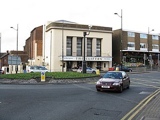
Sedgley is a town in the north of the Metropolitan Borough of Dudley, in the West Midlands, England.

Tividale is a district of the Metropolitan Borough of Sandwell, West Midlands.

Amblecote is an urban village and one of the most affluent areas in the Metropolitan Borough of Dudley in the West Midlands, England. It lies immediately north of the historic town of Stourbridge bordering Wollaston ,Audnam and Quarry Bank, extending about one and a half miles from it, and is on the southwestern edge of the West Midlands conurbation. Historically, Amblecote was in the parish of Oldswinford, but unlike the rest of the parish it was in Staffordshire, and as such was administered separately.

Pensnett is an area of the Metropolitan Borough of Dudley, West Midlands, England, 2.3 miles (3.7 km) south-west of central Dudley. Pensnett has been a part of Dudley since 1966, when the Brierley Hill Urban District, of which it was a part, was absorbed into the County Borough of Dudley, later the Metropolitan Borough of Dudley from 1974.
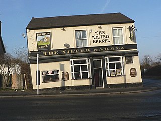
Princes End is an area of Tipton, West Midlands, England, near the border with Coseley, which was heavily developed during the 19th century with the construction of factories. The population of the Sandwell ward taken at the 2011 census was 12,981. Several hundred terraced houses were built around the same time to accommodate the factory workers. Many council houses were built in the area between 1920 and 1980, as well as many private houses.

Merry Hill is a large shopping complex in Brierley Hill near Dudley, England. It was developed between 1985 and 1990, with several subsequent expansion and renovation projects. The centre is anchored by Marks & Spencer, Primark, Asda, Next and formerly Debenhams.

Quarry Bank is an area and Village in the Metropolitan Borough of Dudley, West Midlands, England, covered by the Brierley Hill DY5 postal district. It is one of the few Villages in Dudley with a majority of Independent shops & cafes. It is home to Stevens Park( one of three ) gifted to the people of Stourbridge & Quarry Bank by Ernest Stevens.

The County Borough of Dudley was a local government district in the English Midlands from 1865 to 1974. Originally a municipal borough, it became a county borough in 1889, centred on the main town centre of Dudley, along with the suburbs of Netherton and Woodside. Although surrounded by Staffordshire, the borough was associated with Worcestershire for non-administrative purposes, forming an exclave of the county until 1966, when it was transferred to Staffordshire after an expansion of the borough boundaries. Following local government reorganization in 1974, Dudley took in the boroughs of Halesowen and Stourbridge to form the present-day Metropolitan Borough of Dudley, in the newly formed West Midlands county.
Bentley is an area in the Metropolitan Borough of Walsall located around Junction 10 of the M6 Motorway. It is also a rural village of houses towards its eastern sides. It shares borders with the areas of Willenhall, Beechdale, Ashmore Park, Pleck, Darlaston and Alumwell.

Cradley is a village in the Black Country and Metropolitan Borough of Dudley near Halesowen and the banks of the River Stour. Colley Gate is the name of the short road in the centre of Cradley. It was part of the ancient parish of Halesowen, but unlike much of the rest of that parish, which was an exclave of Shropshire, Cradley was always in Worcestershire, until the creation of the West Midlands county in 1974. This meant that for civil administrative purposes, Cradley formerly had the officers which a parish would have had. The population of the appropriate Dudley Ward taken at the 2011 census was 13,340.
The Priory Estate is a housing estate in Dudley, West Midlands, England, which has largely been developed since 1929.

Tipton Green is the central area of Tipton, a town in the West Midlands of England. It was heavily developed for heavy industry and housing during the 19th century, as Tipton was one of the most significant towns during the Industrial Revolution. Tipton Green is one of three electoral wards covering Tipton for Sandwell Metropolitan Borough Council. The population of this Sandwell ward taken at the 2011 census was 12,834. It is represented by three Labour councillors.

Toll End is a residential area of Tipton in the West Midlands of England. It was developed during the 19th century during the Industrial Revolution which saw previously rural Tipton developed as one of the most prolific manufacturing and mining towns in the country. It is situated on the former A461 road which connects Dudley to Walsall.

Woodside is a residential area of Dudley in the West Midlands of England.
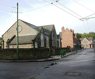
Eve Hill is a residential area of Dudley in the West Midlands of England. It was part of Worcestershire until 1966 and briefly part of Staffordshire until 1974.
This article details a number of defunct schools that were once located in the Metropolitan Borough of Dudley. For details of currently operating schools in the area, please see: List of schools in Dudley.


