Related Research Articles

Twin Caves is a pair of cave entrances connected by a short river at the bottom of a sinkhole within the boundaries of Spring Mill State Park in Lawrence County, Indiana. The river is an exposed section of a mostly-underground stream that originates as Mosquito Creek several miles southeast of the park, which sinks into the Upper Twin Cave system. The stream then comes out briefly at Twin Caves, and flows into the Lower Twin Cave, re-emerging briefly at Bronson Cave shortly to the northwest, then flowing into the Shawnee Cave System. The stream finally emerges at the Donaldson Cave entrance as a short tributary of Mill Creek, still within the park.

Jefferson Township is one of thirteen townships in Putnam County, Indiana. As of the 2020 census, its population was 1,318 and it contained 526 housing units.

Indian Creek Township is one of nine townships in Lawrence County, Indiana, United States. As of the 2020 census, its population was 2,736 and it contained 1,176 housing units.

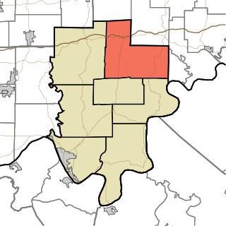
Marion Township is one of nine townships in Lawrence County, Indiana, United States. As of the 2010 census, its population was 9,449 and it contained 4,218 housing units.

French Lick Township is one of ten townships in Orange County, Indiana, United States. As of the 2020 census, its population was 4,576 and it contained 2,227 housing units.

Stampers Creek Township is one of ten townships in Orange County, Indiana, United States. As of the 2020 census, its population was 1,037 and it contained 384 housing units.

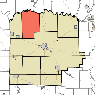
Chester Township is one of seven townships in Wabash County, Indiana, United States. As of the 2020 census, its population was 7,001 and it contained 3,115 housing units.

Anderson Township is one of seven townships in Perry County, Indiana, United States. As of the 2020 census, its population was 1,603 and it contained 649 housing units.
Oil Township is one of seven townships in Perry County, Indiana, United States. As of the 2020 census, its population was 2,545 and it contained 532 housing units.

Brown Township is one of thirteen townships in Washington County, Indiana, United States. As of the 2020 census, its population was 1,100 and it contained 502 housing units.

Howard Township is one of thirteen townships in Washington County, Indiana, United States. As of the 2020 census, its population was 1,272 and it contained 485 housing units. It was named for Gen. Tilghman Howard.
Jefferson Township is one of thirteen townships in Washington County, Indiana, United States. As of the 2020 census, its population was 830.

Pierce Township is one of thirteen townships in Washington County, Indiana, United States. As of the 2020 census, its population was 2,504 and it contained 1,142 housing units.

Mill Creek Falls, is a waterfall located in the Rogue River Canyon within the Prospect State Scenic Viewpoint in Jackson County, in the U.S. state of Oregon. The waterfall is located at the south end of Mill Creek as it plunges into the Rogue River over a carved cliff surrounded by walls of petrified volcanic ash consequence of Mount Mazama eruption.
The Eel River is a 52.8-mile-long (85.0 km) tributary of the White River in southwestern Indiana. Via the White, Wabash, and Ohio rivers, its waters flow to the Mississippi River and the Gulf of Mexico. The Eel River flows through Greene, Owen, Clay, and Putnam counties. It is the southern of the two rivers named Eel River within Indiana.

Salt Creek is a stream in the southern part of the U.S. state of Indiana. A tributary of the East Fork of the White River, the creek begins in southwestern Bartholomew County, flows through southern parts of Brown and Monroe counties, and meets the White River just downstream from Bedford in Lawrence County. In far southwestern Brown County and much of southern Monroe County, the creek flows through Monroe Lake, which was created by damming the creek in 1965.

The Blue River is a 57-mile-long (92 km), two-forked stream that runs through Harrison, Crawford and Washington counties in Indiana. The headwaters of the North Fork arise near Salem in Washington County and flow south, and the headwaters of the South Fork arise near New Liberty and flow southwest. The two small forks converge in Fredericksburg. From the confluence, the river flows south until it joins Ohio River in the Harrison-Crawford State Forest, just upstream from Leavenworth.

Clear Creek is an American creek in Monroe County, Indiana. Flowing in the general south-western and southern direction, it is a tributary of Salt Creek, which in its turn flows into the East Fork of Indiana's White River.
Buchanan, originally named Mouth of Bear, is an unincorporated community located in Lawrence County, Kentucky, United States at the mouth of Bear Creek where it joins the Big Sandy River, five miles downstream from the mouth of Blaine Creek.
Cicero Creek is a stream in the U.S. state of Indiana. It is a tributary to the White River.
References
- ↑ U.S. Geological Survey Geographic Names Information System: Mill Creek (Jackson County, Indiana)
- ↑ History of Jackson County, Indiana: From the Earliest Time to the Present, with Biographical Sketches, Notes, Etc., Together with an Extended History of the Northwest, the Indiana Territory and the State of Indiana. Unigraphic. 1886. p. 387.
- ↑ "USGS Current Conditions for USGS 03359000 MILL CREEK NEAR MANHATTAN, IN".
38°47′25″N86°05′30″W / 38.79028°N 86.09167°W
| | This Jackson County, Indiana location article is a stub. You can help Wikipedia by expanding it. |
| | This article related to a river in Indiana is a stub. You can help Wikipedia by expanding it. |