Hochfilzen is a town and municipality in the Kitzbühel district of the Austrian state of Tyrol. It is located in the Pillersee valley 5 km east of Fieberbrunn. Population was 1,147 in 2016.
Friedberg is a town in district Hartberg-Fürstenfeld located in Styria, Austria with 2,562 inhabitants.
Frastanz is a market town in the district of Feldkirch in the westernmost Austrian state of Vorarlberg. In former times it was known for its production of tobacco.

Trautmannsdorf an der Leitha is a town in the district of Bruck an der Leitha in Lower Austria in Austria.

Dürnkrut is a market town in the district of Gänserndorf in the Austrian state of Lower Austria. Castle Dürnkrut (pictured) is the most famous landmark of the town. The town is agricultural with some noteworthy businesses. Crops grown in the flatter areas are canola, corn, sunflowers and sugar beets. The rolling hills are planted with wine grapes by local vintners.

Engelhartstetten is a town in the district of Gänserndorf in the Austrian state of Lower Austria.

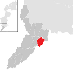
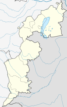
Markgrafneusiedl is a town in the district of Gänserndorf in the Austrian state of Lower Austria.
Langenlois is a town at the Kamp river in the Kamptal, district of Krems-Land in the Austrian state of Lower Austria. Famous for its wine production, it is also home to the Loisium, a centre celebrating and advertising the local wine and built by the American deconstructionist architect Steven Holl.

Mautern an der Donau is a town in the district of Krems-Land in the Austrian state of Lower Austria.

Kilb is a town in the district of Melk in the Austrian state of Lower Austria.

Brand is a municipality in the district of Bludenz in the Austrian state of Vorarlberg.

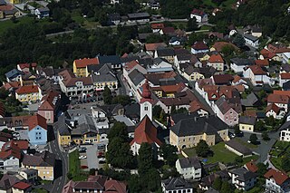
Itter is a municipality in the Kitzbühel District in the Austrian state of Tyrol located 18.60 km west of Kitzbühel, 5 km southeast of Wörgl, and 2.5 km north of Hopfgarten im Brixental. The village lies on a terrace above the Brixental valley and its main source of income is tourism.

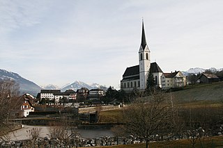
Zell am Ziller is a municipality in the Schwaz district in the Austrian state of Tyrol. The name derives from the river Ziller.
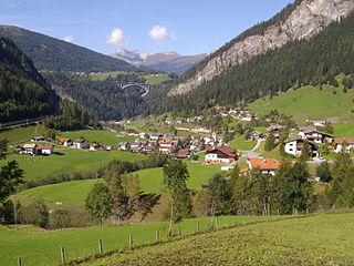
Vals is a municipality in the southern Innsbruck-Land District in the Austrian state of Tyrol.

Telfs is a market town in the district of Innsbruck-Land in the Austrian state of Tyrol, 27 kilometres west of Innsbruck. It is the third largest municipality in Tyrol. Telfs received its status in 1908 and maintains its own district court.

Neumarkt am Wallersee is a town in the district of Salzburg-Umgebung in the state of Salzburg in Austria.

Maria Lankowitz is a small market township near Köflach in the district of Voitsberg in the Austrian state of Styria, at the foot of the Stubalpe mountain.

Walpersbach is a municipality in the district of Wiener Neustadt-Land in the Austrian state of Lower Austria.

Allentsteig is a municipality in the district of Zwettl, in Lower Austria, Austria.

Schweiggers is a municipality in the district of Zwettl, in Lower Austria, Austria.