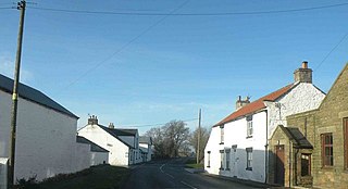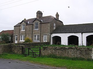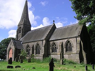
Killerby is a village in the borough of Darlington and the ceremonial county of County Durham, England. It is situated a few miles to the west of Darlington. Details are maintained in the parish of Staindrop.

Waskerley is a village in County Durham, England. It is situated six miles to the southwest of Consett and three miles southwest of Castleside and the A68. Stanhope in the Durham Dales is a further six miles to the southwest and the Derwent Reservoir and the village of Edmundbyers is approximately five miles to the north. The village of Muggleswick is three miles to the north.

Beaumont Hill is a village in the borough of Darlington and the traditional and ceremonial counties of Durham in England, situated directly to the north of Darlington on the A167 road.
Belmont is a suburb forming the north-eastern parts of the city of Durham, England. Belmont Parish covers four old coal mining villages of Belmont, Carrville, Broomside and Gilesgate Moor, which have been joined by industrial and suburban developments since the 1950s. As such Belmont can be used either to refer narrowly to the old village area, or the wider parish, particularly the parts to the east of the A1(M) motorway which bisects the area. At the 2011 census, the parish had a population of 8,881.
Bridgehill is an area of Consett in County Durham, England. It is situated near Benfieldside, Blackhill, Shotley Grove, and the River Derwent.

Kinninvie is a hamlet in County Durham, England. It is situated to the north of Barnard Castle. Kinninvie is in the civil parish of Marwood.

Ingleton is a village and civil parish in County Durham, England. The population of the parish as taken at the 2011 census was 420. It is situated about eight miles to the west of Darlington, and a short distance from the villages of Langton, Hilton and Killerby. The Church of St John the Evangelist in Ingleton was built in 1843 by Ignatius Bonomi and J.A. Cory., and is a Grade II listed building.
High Stoop is a village in County Durham, England. It is situated a short distance to the north-west of Tow Law, on the A68.
Houghton Bank is a village in the borough of Darlington and the ceremonial county of County Durham, England. It is situated a few miles west of Newton Aycliffe, on the A68 between Darlington and Bishop Auckland.

Houghton-le-Side is a small village in the borough of Darlington and the ceremonial county of County Durham, England. It is situated a few miles to the south-west of Newton Aycliffe.
Maiden Law is a small village in County Durham, England. It is situated to the north of Lanchester, on the road to Annfield Plain.

Morley is a village in County Durham, England. It is situated five miles to the west of Bishop Auckland. Morley is first mentioned in 1295, already with its present spelling; its coal mine was mentioned, as Morleypitte already in c. 1440. The name probably means "open ground by a moor", from Old English mōr "moor, clearing, pasture" + lẽah "open ground, clearing".

Morton Tinmouth is a hamlet of a few farms in County Durham, England. It is situated a few miles to the north-west of Darlington close to the village of Bolam.
Little Thorpe is a hamlet in County Durham, England. It is situated between Easington and Peterlee.

Littletown is a village in the parish of Pittington, County Durham, England. It is situated a few miles to the east of Durham, and was previously the site of the Lambton Colliery.

Coundon Gate is a small village in County Durham, in England. It is situated between Bishop Auckland and Coundon.

Great Stainton is a village in the borough of Darlington and ceremonial county of County Durham, England. It is situated to the north of Darlington, and to the west of Stockton-on-Tees. Elstob is a hamlet, just north of Great Stainton, which is part of the Parish of Great Stainton. The population as taken at the Census 2011 was less than 100. Details are now maintained in the parish of Little Stainton.

Haswell Moor is a small village in County Durham, England. It is situated between Haswell and Shotton Colliery.
Kepier is a location in the city of Durham, England in the parish of Belmont, close to Gilesgate and beside the River Wear. It is site of the medieval Hospital of St Giles at Kepier.
Croxdale and Hett is a civil parish in County Durham, England. It is situated approximately four miles south of Durham. The population of the civil parish as taken at the 2011 census was 866.


