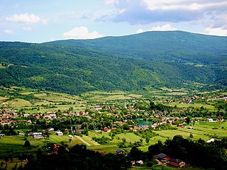
Bikovo is a village located in the Subotica municipality, in the North Bačka District of Serbia. It is situated in the autonomous province of Vojvodina. The village is ethnically mixed and its population numbering 1,824 people.

This is a list of the extreme points of Azerbaijan, the points that are farther north, south, east or west than any other location.

Bošnjaci is a village and municipality in Vukovar-Syrmia County in eastern Croatia. The 2011 census listed a total of 3,855 inhabitants, 98.8% of whom identified themselves as Croats.

Lišane Ostrovičke is a village and a municipality in Croatia in the Zadar County. According to the 2001 census, there are 764 inhabitants, 93% of which are Croats.

Soltszentimre is a village in Bács-Kiskun County, in the Southern Great Plain region of southern Hungary.
Grabovci is a village in Serbia. It is situated in the Ruma municipality, in the Srem District, Vojvodina province. The village has a Serb ethnic majority and its population numbering 1,480 people.
Pərizamanlı is a village and the least populous municipality in the Gadabay Rayon of Azerbaijan. It has a population of 667.
Nemetin is a village in eastern Slavonia, Croatia, located near Osijek. It has a population of 139. It is administratively located in the City of Osijek.
Kamenac is a settlement in the region of Baranja, Croatia. Administratively, it is located in the Kneževi Vinogradi municipality within the Osijek-Baranja County. Population is 177 people.
Mironić is a village in the municipality of Aerodrom, Serbia. According to the 2002 census, the village has a population of 99 people.
Mali Skočaj is a village in the municipality of Bihać, Bosnia and Herzegovina.

Ripač is a village in the municipality of Bihać, Bosnia and Herzegovina.
Ruda Bukva is a village in the municipality of Kosjerić, western Serbia. According to the 2002 census, the village has a population of 118 people.
Homoljac is a village in Croatia. It is connected by the D52 highway.
Vrelo Koreničko is a village in Croatia. It is connected by the D52 highway.
Gorjakovo is a village in Croatia.
Gornja Trnava is a village in the municipality of Topola, Serbia. According to the 2002 census, the village has a population of 1736 people.

Pričević is a village in the municipality of Valjevo, Serbia. According to the 2002 census, the village has a population of 519 people.
Vlaščić is a village in the municipality of Valjevo, Serbia. According to the 2002 census, the village has a population of 98 people.
Konšćica is a settlement (naselje) in the Samobor administrative territory of Zagreb County, Croatia. As of 2011 it had a population of 289 people.


