This article relies largely or entirely on a single source .(April 2019) |
Naluwere is a parish in Bulidha subcounty of Bukooli North County in Bugiri District of Uganda. At the time of the 2014 census it had 3821 inhabitants. [1]
This article relies largely or entirely on a single source .(April 2019) |
Naluwere is a parish in Bulidha subcounty of Bukooli North County in Bugiri District of Uganda. At the time of the 2014 census it had 3821 inhabitants. [1]

Uganda, officially the Republic of Uganda, is a landlocked country in East-Central Africa. It is bordered to the east by Kenya, to the north by South Sudan, to the west by the Democratic Republic of the Congo, to the south-west by Rwanda, and to the south by Tanzania. The southern part of the country includes a substantial portion of Lake Victoria, shared with Kenya and Tanzania. Uganda is in the African Great Lakes region. Uganda also lies within the Nile basin, and has a varied but generally a modified equatorial climate.

This article is about the demographic features of the population of Uganda, including population density, ethnicity, education level, health of the populace, economic status, religious affiliations and other aspects of the population.

Uganda is divided into 134 districts and the capital city of Kampala, which are grouped into four administrative regions.

According to the 2013 National Census, Islam in Uganda was practised by 13.7 percent of the population. The Pew Research Center in 2014, however, estimated that 11.5 percent of Ugandans were Muslim, compared to 35.2 percent of Tanzanians, 9.7 percent of Kenyans, 6.2 percent of South Sudanese, 2.8 percent of Burundians, and 1.8 percent of Rwandans. The vast majority of Muslims in Uganda are Sunni. Small Shia and Ahmadi minorities are also present.
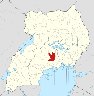
Luweero District is a district in the Central Region of Uganda. Luweero is the site of the district headquarters.
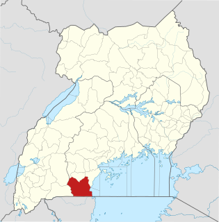
Rakai District is a district in the Central Region of Uganda. The town of Rakai is the site of the district's headquarters.

Yumbe District is a district in Northern Region, Uganda. Like most other Ugandan districts, it is named after its 'chief town', Yumbe, where the district headquarters are located.

Kisoro District is a district in the Western Region of Uganda. The town of Kisoro is the site of the district headquarters.
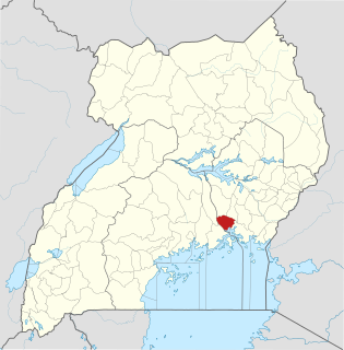
Jinja District is a district in the Eastern Region of Uganda. The town of Jinja is the district's main municipal and commercial center.

Uganda is a religiously diverse nation with Christianity being the most widely professed faith. According to the 2014 census, over 84 percent of the population was Christian while about 14 percent of the population adhered to Islam, making it the largest minority religion. In 2009, the northern and west Nile regions were dominated by Roman Catholics, and Iganga District in the east of Uganda had the highest percentage of Muslims.

Bududa District is a district in the Eastern Region of Uganda. Bududa is the chief town of the district.
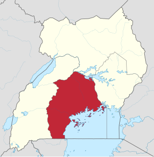
The Central region is one of the four regions in the country of Uganda. As of Uganda's 2014 census, the region's population was 9,529,227. It is coterminous with the Kingdom of Buganda, one of the ancient African monarchies that are constitutionally recognised in Uganda.

The Eastern region is one of four regions in the country of Uganda. As of Uganda's 2014 census, the region's population was 9,042,422.

The Western region is one of four regions in the country of Uganda. As of Uganda's 2014 census, the region's population was 8,874,862.

Alebtong District is a district in the Northern Region of Uganda. The town of Alebtong is the site of the district headquarters.
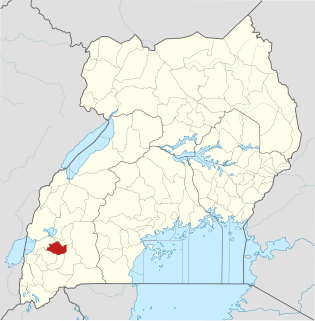
Buhweju District is a district in Western Uganda. It is one of the districts that constitute the Ankole sub-region. Its 'chief town', is Nsiika.

Kiryandongo District is a district in Western Uganda. Like many other Ugandan districts, it is named after its 'chief town', Kiryandongo, where the district headquarters are located.

Ntoroko District is a district in the Western Region of Uganda. The district headquarters are in the Kibuuku town council.
The Uganda Bureau of Statistics ("UBOS") is an agency of the Ugandan government. Formed by an Act of Parliament in 1998, the agency is mandated to "coordinate, monitor and supervise Uganda's National Statistical System".
| This Uganda location article is a stub. You can help Wikipedia by expanding it. |