Related Research Articles

Scott County is a county located in the U.S. state of Arkansas. As of the 2020 census, the population was 9,836. The county seat is Waldron. Scott County is Arkansas' 28th county, formed on November 5, 1833, and named for Andrew Scott, a justice of the Supreme Court of the Arkansas Territory. It is an alcohol-prohibited or dry county.

Pike County is a county located in the U.S. state of Arkansas. As of the 2020 census, the population was 10,171. The county seat is Murfreesboro. Pike County is Arkansas's 25th county, formed on November 1, 1833, and named for Lieutenant Zebulon Pike, the explorer for whom Pikes Peak is named. It is an alcohol prohibition or dry county.
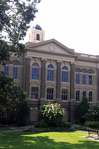
Garland County is a county located in the U.S. state of Arkansas. As of the 2020 census, the population was 100,180. The county seat is Hot Springs.
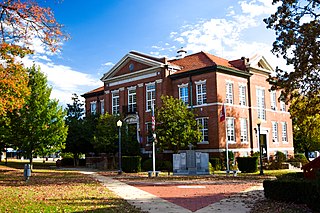
Boone County is a county located in the U.S. state of Arkansas, along the Missouri border. As of the 2020 census, the population was 37,373. The county seat is Harrison. It is Arkansas's 62nd county, formed on April 9, 1869.
Bates is an unincorporated community in Scott County, Arkansas, United States. It is the location or nearest community of Bates School, at 1074 Bates School Rd., which is listed on the U.S. National Register of Historic Places.
Montana is an unincorporated community in Johnson County, in the U.S. state of Arkansas.
Nebraska is a ghost town in Pickaway County, in the U.S. state of Ohio.
Oregon is a ghost town in Boone County, in the U.S. state of Arkansas.
Hon is an unincorporated community in Scott County, Arkansas, United States.
Anderson is an unincorporated community in Scott County, in the U.S. state of Arkansas.
Blansett is an extinct town in Scott County, in the U.S. state of Arkansas. The GNIS classifies it as a populated place.
Blue Ball is an unincorporated community in Scott and Yell counties, in the U.S. state of Arkansas.
Evening Shade is an unincorporated community in Scott County, in the U.S. state of Arkansas.
Forester is an extinct town in Scott County, in the U.S. state of Arkansas. It is located about 21 miles east-southeast of Waldron, Arkansas. The GNIS classifies it as a populated place.
Gipson is an unincorporated community in Scott County, in the U.S. state of Arkansas.
Nella is an unincorporated community in Scott County, in the U.S. state of Arkansas.
Nola is an unincorporated community in Scott County, in the U.S. state of Arkansas.
Oliver is an unincorporated community in Scott County, in the U.S. state of Arkansas.
The Pines is an unincorporated community in Scott County, in the U.S. state of Arkansas.
Weeks is an unincorporated community in Scott County, in the U.S. state of Arkansas.
References
- ↑ U.S. Geological Survey Geographic Names Information System: Nebraska (historical)
- 1 2 Nebraska from the Encyclopedia of Arkansas History and Culture . Retrieved 7 July 2019.
- ↑ "Towns named after states". Reading Eagle. Jul 2, 1897. p. 3. Retrieved 14 October 2015.
- ↑ "Scott County". Jim Forte Postal History. Retrieved 6 March 2015.
Municipalities and communities of Scott County, Arkansas, United States | ||
|---|---|---|
| Cities |  | |
| CDP | ||
| Other unincorporated communities | ||
| Ghost towns | ||
| Footnotes | ‡This populated place also has portions in an adjacent county or counties | |
34°52′14″N93°45′13″W / 34.87065°N 93.75353°W
| | This United States ghost town-related article is a stub. You can help Wikipedia by expanding it. |
| | This article about a location in Scott County, Arkansas is a stub. You can help Wikipedia by expanding it. |