The judo competition at the 1964 Summer Olympics was the first time the sport was included in the Summer Olympic Games. Medals were awarded in 4 classes, and competition was restricted to men only. The competition was held in the Nippon Budokan, which was built to host the competition. Of note is that future United States Senator Ben Nighthorse Campbell competed for the United States, though he did not win a medal.

Kauguri is a residential area in the western part of Jūrmala, a city in Latvia. It is estimated that the population is approximately one-half of Jūrmala's population, so it is more than 20,000. As part of a resort town, Kauguri has changed a great deal since Latvia regained its independence in 1991; modern shops, cultural and medical facilities attract many people from far and near. Kauguri stretches for 2 kilometres (1.2 mi) along the Gulf of Riga that washes the golden-sandy beach.
Boca Chica Key is an island in the lower Florida Keys, about a mile east of the island of Key West at its closest point. Its name is Spanish for "small mouth". It is mostly covered by salt marshes and mangrove trees, and is the home of the largest Naval Air Station in south Florida. U.S. 1, the Overseas Highway, crosses the key at approximately mile markers 6.5—8, east of Key West.
Putnam Hall is an unincorporated community in Putnam County, Florida, United States. It is located near the State Road 100/State Road 26 intersection.

Nadir Shah Kot District is situated in the western part of Khost Province, Afghanistan. It borders Paktia Province and Shamal District to the west, Qalandar District to the north, Musa Khel District to the northeast, Khost (Matun) District to the east, Mando Zayi District to the southeast and Tani and Spera districts to the south.
Kamenokō Station is a train station in Misaki, Kume District, Okayama Prefecture, Japan.
Kostry-Noski is a village in the administrative district of Gmina Nowe Piekuty, within Wysokie Mazowieckie County, Podlaskie Voivodeship, in north-eastern Poland.

Klice is a village in the administrative district of Gmina Regimin, within Ciechanów County, Masovian Voivodeship, in east-central Poland. It lies approximately 5 kilometres (3 mi) north-west of Regimin, 14 km (9 mi) north-west of Ciechanów, and 90 km (56 mi) north of Warsaw.
Sułkowo-Kolonia is a village in the administrative district of Gmina Stupsk, within Mława County, Masovian Voivodeship, in east-central Poland. It lies approximately 8 kilometres (5 mi) south of Stupsk, 18 km (11 mi) south of Mława, and 92 km (57 mi) north-west of Warsaw.
Noski is a village in the administrative district of Gmina Ceranów, within Sokołów County, Masovian Voivodeship, in east-central Poland.
Phong Niên a communes (xã) in Bảo Thắng District, Lào Cai Province, Northwest region of Vietnam. The commune has an area of 43.25 square kilometers and population of 6933 inhabitants (2006). The commune contains 19 villages.
Burtnieki Parish is an administrative territorial entity of the Valmiera District, Latvia.
West Stanley railway station was a railway station on the North Eastern Railway, in County Durham.
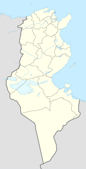
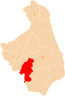
Souitir is a small village in the south-east of Tunisia.
Trnava is a village in the municipality of Jagodina, Serbia. According to the 2002 census, the village has a population of 2237 people.
Goma is a commune of the city of Goma in North Kivu, Democratic Republic of the Congo. This is the southern part of the city or town going from the main road to the kivu lake.
Meranfjellet is a mountain in Sørkapp Land at Spitsbergen, Svalbard. It has a height of 491 m.a.s.l., and is the northern mountain of the ridge Påskefjella. The mountain is named after Austrian count Franz Meran.
Khao Thamon railway station is a railway station located in Don Yang Subdistrict, Phetchaburi City, Phetchaburi. It is a class 3 railway station located 160.322 km (99.6 mi) from Thon Buri railway station.
Hutton Valley Township is an inactive township in Howell County, in the U.S. state of Missouri.
Dallas Township is an inactive township in St. Clair County, in the U.S. state of Missouri.