Related Research Articles
Puerto Suárez is an inland river port and municipality in Santa Cruz Department, Bolivia. It is located 10 km west of the border with Brazil.

Aniceto Arce is a province in the southern parts of the Bolivian department Tarija. The province is named after Aniceto Arce Ruiz (1824-1906), President of Bolivia from 1888 until 1892.

Achacachi is a town on the Altiplano plateau in the South American Andes in the La Paz Department in Bolivia. It is the capital of the Omasuyos Province.
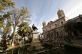
Tupiza is a city in Potosí Department, Bolivia. It is located at an elevation of about 2850 m. The population is 25,709. Tupiza and its environs are characterized by dramatic red escarpments which jut ruggedly skyward from the coarse, gray terrain; green agricultural land adjacent to the nearby Tupiza River provides welcome respite from the otherwise arid, thorny surroundings. The area quebradas are susceptible to flash flood runoff from sudden cloudbursts.
Villamontes or Villa Montes is a town in the Tarija Department in south-eastern Bolivia.

Yacuiba is a city in southern Bolivia and the capital city of Gran Chaco Province in the Tarija Department. It lies three kilometers from the Argentine border. It has a population of approximately 80,000 and lies 620 to 680 m (2,034–2,231 ft) above sea level. Yacuiba is one of the cities of fast growth population in Bolivia due to the commerce and boom in hydrocarbon exploitation. It was part of Salta Province of Argentina until its cession to Bolivia in 1900.

Entre Ríos is a town in the Bolivian Tarija Department.
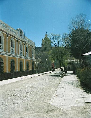
Salinas de Garci Mendoza is a town in the Bolivian Oruro Department. It is the administrative center of Ladislao Cabrera Province and is located 280 km (170 mi) south-west of Oruro, the capital of the department. It is situated at an elevation of 3,732 m (12,244 ft) at Caricha, 20 km north of the Tunupa stratovolcano. Salar de Coipasa,a salt lake, is 20 km north-west of Salinas de Garci Mendoza, and 15 km in south-eastern direction is Salar de Uyuni, the world's largest salt pan. Salinas de Garci Mendoza is the endpoint of the road from Chuquichamba via Andamarca and Aroma to Salinas de Garci Mendoza.

San Lorenzo is a town in the Tarija Department in Bolivia.
Uriondo is a town in the Bolivian Tarija Department.

Iscayachi is a sparsely populated town in the Bolivian high valleys, located at the Eustaquio Méndez province Junction, north Tarija, at an elevation of 2,915 meters. The population is reported to be 1,153.
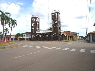
Santa Ana del Yacuma is a town in the Beni Department in north-eastern Bolivia.
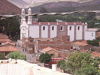
Camargo is a small town in the Chuquisaca Department of Bolivia in the South American Andes.

San Joaquín is a small agricultural town in the Beni Department in the Bolivian lowlands.

Puerto Acosta or Waychu (Aymara) is a town in the La Paz Department, Bolivia.
San Ramón is a small town in the Beni Department in Bolivia.
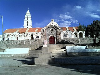
Santuario de Quillacas is a small town in the Oruro Department in Bolivia. It is situated south east of Poopó Lake.
Villa Serrano is a small town in the Chuquisaca Department, Bolivia. It is the seat of the Belisario Boeto Province. At the time of census 2001 it had 2,877 inhabitants.
Canasmoro is a town in the Tarija Department of Bolivia.
Palmar Grande is a town in the Tarija Department of Bolivia.
References
- ↑ "Base de datos Sistema Meteorológico–SISMET" (in Spanish). Servicio Nacional de Meteorología e Hidrología de Bolivia. Archived from the original on 7 June 2018. Retrieved 15 June 2024.
- ↑ "índices climáticos para 149 estaciones meteorológicas en Bolivia" (in Spanish). Servicio Nacional de Meteorología e Hidrología de Bolivia. Retrieved 15 June 2024.