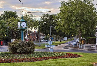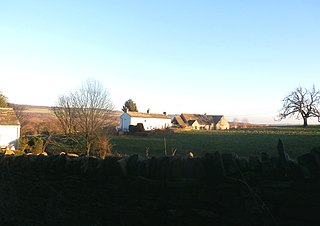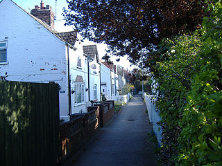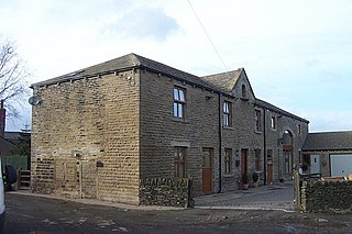
Painthorpe is a residential area in the Wakefield district, in the English county of West Yorkshire. It is situated southwest of Crigglestone. [1] [2]

Painthorpe is a residential area in the Wakefield district, in the English county of West Yorkshire. It is situated southwest of Crigglestone. [1] [2]
Painthorpe has a primary school which it is proposed will amalgamate with Kettlethorpe High School in 2018. [3]

Oldfield is a small hamlet within the county of West Yorkshire, England, situated north of Stanbury and near to Oakworth. It is approximately 4 miles (6.5 km) west of the town of Keighley. It mainly consists of farmland and has panoramic views across the Worth Valley towards Brontë Country. Top Withens, the house featured in the novel Wuthering Heights, is clearly visible.

Willerby is a village and civil parish located on the western outskirts of the city of Kingston upon Hull in the East Riding of Yorkshire, England.

Haigh is a small village in South Yorkshire and West Yorkshire, England. Historically within the West Riding of Yorkshire, it lies half in the Wakefield district and half in the Barnsley district. It grew up as a pit village and had its own colliery until 1968. Thereafter, Woolley Colliery became the main source of employment until its closure in 1987. Haigh suffered from significant decline for several years afterwards. It is now a commuter village for the large towns and cities of Yorkshire.

Crigglestone is a village and civil parish in the City of Wakefield in West Yorkshire, England. It is recorded as "Crigeston" in the Domesday Book. The civil parish had a population of 9,271 at the 2011 Census. On 29 July 1941, an explosion occurred at the Crigglestone Colliery, killing 21 men. The site of the colliery is now an industrial estate.

Durkar is a small village in the southwestern suburbs of the City of Wakefield, West Yorkshire, England.
Lawns is a district of Wakefield in West Yorkshire, England.

Barnburgh Main Colliery was a coal mine situated on the outskirts of the village of Barnburgh, about two miles north of Mexborough in the Dearne Valley, South Yorkshire, England. The sinking of the colliery was commenced in 1911 by the Manvers Main Colliery Company of Wath-upon-Dearne.

Anlaby Common is former common land, now an outer suburb of Kingston upon Hull. The area includes the residential areas which are located on the western urban fringe of Hull; the B1231 road passes through all of Anlaby Common's estates, east to west.

Oakes is a district of Huddersfield, West Yorkshire, England. It is situated 2 miles (3 km) to the west of the town centre off the A640 New Hey Road towards the M62 motorway, between Marsh, Lindley, Quarmby and Salendine Nook.

Brandy Carr is a hamlet in the City of Wakefield in West Yorkshire, England, north of the eponymous Brandy Carr Hill and between Balne Beck in the west and Carr Gate Beck in the east. Brandy Carr was part of Kirkhamgate civil parish and is even now considered a part of Kirkhamgate as indicated by the road signage. The nearest settlements are Carr Gate in the north, Wrenthorpe in the southeast, and Kirkhamgate in the southwest. Rhubarb and liquorice are grown at Brandy Carr Nurseries, the latter since the reintroduction of its culture to Great Britain in the early 1990s by the business owner. There are no direct public transport links to Brandy Carr, the nearest bus stops are in Kirkhamgate for services to Wakefield, and at the junction of Brandy Carr Road with the A650 road for services to Bradford, Leeds, and Wakefield.

Ferry Fryston is a suburb of the town of Castleford in West Yorkshire, England. It is situated in the metropolitan borough of the City of Wakefield. The appropriate ward is called Airedale and Ferry Fryston.

Bowling railway station is a closed station in the city of Bradford, West Yorkshire, England. It was on the line connecting the Bradford Exchange - Low Moor line of the Lancashire and Yorkshire Railway with the line of the Great Northern Railway (GNR) at Laisterdyke. It was opened by the GNR on 1 August 1854 and closed to passengers on 1 February 1895. The line remained open to freight until 4 May 1964. No trace remains of the station which was located northeast of the bridge crossing Wakefield Road.

Thorncliffe is a hamlet in the township of Kirkburton, in the Kirklees district, in the county of West Yorkshire, England.

Beggarington Hill is a hamlet in the county of West Yorkshire, England, in the City of Leeds and at the border of Kirklees. Historically, it was part of the West Ardsley civil parish. It is located immediately southwest of West Ardsley near the town of Batley, between Baghill Beck in the north and Hey Beck in the south. The A653 road runs approximately 0.6 miles (1.0 km) west of the settlement.
Nunburnholme Priory was a priory of Benedictine nuns in the East Riding of Yorkshire, England. It was founded during the reign of Henry II of England by an ancestor of Robert de Merlay, lord of Morpeth. Except for its demesne, it possessed only little property in its surroundings. In 1313 the prioress claimed the monastery of Seton in Coupland as a cell of Nunburnholme. In 1521 only five nuns and the prioress lived here, and on 11 August 1536 the house was suppressed. It was valued as the poorest and smallest of the Benedictine nunneries in Yorkshire surviving until then.

Lower Mickletown is a hamlet in the City of Leeds, in the English county of West Yorkshire. It was named Low Mickletown in the early 20th century and has been known under this name at least until about 1950.

Beggarington, also known as Beggerington and Begerington is a hamlet consisting of a few houses about 0.4 miles (0.6 km) north of Hartshead in Kirklees, West Yorkshire. It is situated in a bend of the B6119 road at the junction with the road from Roberttown. Beggerington has traditionally been considered a part of Hartshead. The place name means either "where the berries grow" or is related to beggar.

Stanley railway station on the Methley Joint Railway served the village of Stanley east of Outwood, Wakefield, West Yorkshire.
Ossett was a Bradford, Wakefield and Leeds Railway station on Station Road in Ossett, Yorkshire. The station on the Adwalton Junction to Wakefield line opened on 7 April 1867 and closed on 5 September 1964. It had an island platform accessed from a ramp surrounded by goods yards. After closure the tracks were lifted, and the area has been built over with housing.

Egypt is a hamlet near Thornton in the City of Bradford. West Yorkshire, England.
West Yorkshire A-Z
Coordinates: 53°38′15″N1°31′42″W / 53.637565°N 1.528215°W
| This West Yorkshire location article is a stub. You can help Wikipedia by expanding it. |