
Richmond is a town in New South Wales, in the local government area of the City of Hawkesbury. It is located 19 metres above sea level on the alluvial Hawkesbury River flats, at the foot of the Blue Mountains on the Cumberland Plain. It is about 65 km by road from Sydney and about 78 km by road from Lithgow.

Cumberland Highway is a 34-kilometre (21 mi) long urban highway located in Sydney, New South Wales, Australia. The highway links Pacific Highway and Pacific Motorway (M1) at Pearces Corner, Wahroonga in the northeast with Hume Highway at Liverpool in the southwest. This name covers a few consecutive roads and is widely known to most drivers, but the entire allocation is also known – and signposted – by the names of its constituent parts: Pennant Hills Road, James Ruse Drive, Briens Road, Old Windsor Road, Hart Drive, Freame Street, Emert Street, Jersey Road, Betts Road, Warren Road, Smithfield Road, Palmerston Road, (New) Cambridge Street, Joseph Street and Orange Grove Road. The entire length of Cumberland Highway is designated part of route A28.

Cumberland County is a county in the State of New South Wales, Australia. Most of the Sydney metropolitan area is located within the County of Cumberland.

Windsor railway station is a heritage-listed railway station located on the Richmond line, serving the Sydney suburb of Windsor, in New South Wales, Australia. It is served by Sydney Trains T1 Western and T5 Cumberland line services. It was added to the New South Wales State Heritage Register on 2 April 1999.
Cumberland (North Riding) was an electoral district of the Legislative Assembly in the Australian state of New South Wales from 1856 to 1859, in Cumberland County, which includes Sydney. It included all of the county north of Parramatta Road and the Great Western Highway, except for the urban electorates of Sydney (City), Sydney Hamlets, Parramatta and Cumberland Boroughs, which included Richmond and Windsor. It elected two members simultaneously, with voters casting two votes and the first two candidates being elected. It was abolished in 1859 and the district was divided between Central Cumberland, Windsor, Nepean and St Leonards.

Lands administrative divisions of Australia are the cadastral divisions of Australia for the purposes of identification of land to ensure security of land ownership. Most states term these divisions as counties, parishes, hundreds, and other terms. The eastern states of Queensland, New South Wales, Victoria, and Tasmania were divided into counties and parishes in the 19th century, although the Tasmanian counties were renamed land districts in the 20th century. Parts of South Australia (south-east) and Western Australia (south-west) were similarly divided into counties, and there were also five counties in a small part of the Northern Territory. However South Australia has subdivisions of hundreds instead of parishes, along with the Northern Territory, which was part of South Australia when the hundreds were proclaimed. There were also formerly hundreds in Tasmania. There have been at least 600 counties, 544 hundreds and at least 15,692 parishes in Australia, but there are none of these units for most of the sparsely inhabited central and western parts of the country.
Cumberland Boroughs was an electoral district of the Legislative Assembly in the Australian state of New South Wales from 1856 to 1859, consisting of the Cumberland County towns of Richmond, Windsor, Liverpool and Campbelltown, but not the surrounding rural areas, which were in Cumberland and Cumberland. The district was abolished in 1859, with Richmond and Windsor forming the new electorate of Windsor, Campbelltown was included in Narellan and Liverpool became part of Central Cumberland.

Concord Parish is one of the 57 parishes of Cumberland County, New South Wales, a cadastral unit for use on land titles. It is located to the south of the Parramatta River between Homebush Bay and Iron Cove; and to the north of Cooks River. It includes the suburbs of Homebush, most of Strathfield, Burwood, Croydon, Concord, Canada Bay, Abbotsford and Drummoyne. It covers the local government areas of City of Canada Bay and the Municipality of Burwood and most of the Municipality of Strathfield. It roughly corresponds to the western half of the Inner West region, with the neighbouring Parish of Petersham making up the eastern half.
Cumberland was an electoral district of the Legislative Assembly in the Australian state of New South Wales in outer western Sydney named after Cumberland County. It was created as a three-member electorate with the introduction of proportional representation in 1920, replacing Camden and Hawkesbury. It was abolished in 1927 and replaced by Hawkesbury, Nepean, and parts of Bankstown, Lakemba and Hornsby.
Manangle Parish, Cumberland is one of the 57 parishes of Cumberland County, New South Wales, a cadastral unit for use on land titles. Its eastern boundary is the Georges River, and western boundary the Nepean River. It includes the southern Sydney suburbs of Menangle Park, Gilead, Rosemeadow and part of Glen Alpine. Major roads in the area include the South Western Freeway, Menangle Road and Appin Road.

Old Windsor Road is a notable and historic road in Sydney, Australia. It starts from Kellyville, New South Wales and ends at Northmead, New South Wales, just north of Parramatta, and acts as part of a main arterial between Parramatta and Windsor. A section at its southeastern end is a constituent part of Cumberland Highway.

Parish of St Matthews, is one of the 57 civil parishes of the County of Cumberland, New South Wales.
The Parish of Rooty Hill, is a civil parish of Cumberland County in New South Wales, Australia.

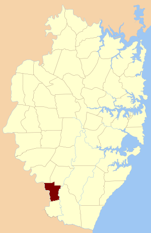
The parish of Ham Common is one of the 57 civil parishes of the County of Cumberland, New South Wales.
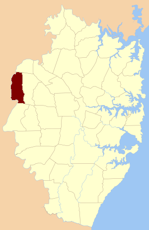
Castlereagh Parish, is a civil parish of Cumberland County, located west of Sydney in New South Wales, Australia.
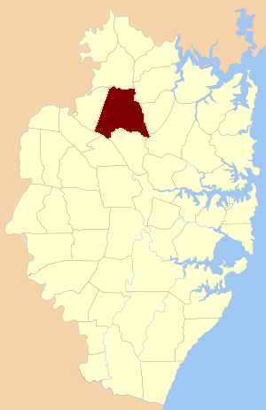
Parish of Nelson, is a civil parish of the County of Cumberland, north west of Sydney, Australia.

The Parish of Berowra, is a civil parish of the County of Cumberland, New South Wales, Australia.
The Parish of Cowan, is a civil parish of the County of Cumberland.
The Maroota Parish is a civil parish of the County of Cumberland.
The electoral district of Cumberland Boroughs, also known as the united towns of Windsor, Richmond, Liverpool and Campbelltown, was an electorate of the New South Wales Legislative Council at a time when two thirds were elected, one sixth were official members, that is they held a government office and the balance were appointed by the Governor.

