
The Pamunkey River is a tributary of the York River, about 93 miles (150 km) long, in eastern Virginia in the United States. Via the York River it is part of the watershed of Chesapeake Bay.
The Coan River is a 7.5-mile-long (12.1 km) river in Virginia's Northern Neck region. It is a tributary of the Potomac River. It flows from its source in Heathsville through Northumberland County and into the Potomac between Lewisetta and Walnut Point.
Buffalo Creek is a 16.0-mile-long (25.7 km) tributary of the Maury River in Rockbridge County in the U.S. state of Virginia. It is part of the James River watershed.
Dragon Swamp, also known as Dragon Run, is a 36.7-mile-long (59.1 km) stream in the U.S. state of Virginia, flowing through King and Queen, Essex, Middlesex, and Gloucester counties. It is the main freshwater tributary of the Piankatank River.
The Eastern Branch Elizabeth River is a 9.0-mile-long (14.5 km) tidal river in the Hampton Roads area of the U.S. state of Virginia. The river flows from east to west, starting in Virginia Beach. At its crossing by Interstate 64 it becomes the boundary between Virginia Beach and the city of Norfolk, and farther west it is the boundary between Norfolk and the city of Chesapeake. For its final 3 miles (5 km) it is entirely within the city of Norfolk.
The Harris River is a 2.5-mile-long (4.0 km) tidal river within the city of Hampton in the U.S. state of Virginia. It is a southerly arm of the Back River, an inlet of Chesapeake Bay.
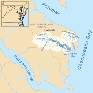
The Little Wicomico River is a 9-mile-long (14 km) river in the United States state of Virginia. The river, mostly tidal, flows into Chesapeake Bay at the junction of the south shore of the Potomac River, which is also the Maryland-Virginia boundary, with Chesapeake Bay.
The North River is a 7.6-mile-long (12.2 km) tidal river in the U.S. state of Virginia. It is an arm of Mobjack Bay, itself part of Chesapeake Bay. The North River forms the boundary between Mathews and Gloucester counties.
The Northwest Yeocomico River is a 1.7-mile-long (2.7 km) tidal tributary of the Yeocomico River in the U.S. state of Virginia. The Yeocomico River system is a tidal branch of the Potomac River.
The Poropotank River is a 16.0-mile-long (25.7 km) river in the U.S. state of Virginia. It is a tributary of the York River and forms part of the boundary between King and Queen and Gloucester counties.
The Severn River is a 2-mile-long (3 km) tidal river in the United States state of Virginia. It is a tributary of Mobjack Bay, which is an arm of Chesapeake Bay.
The South Yeocomico River is a 1.4-mile-long (2.3 km) tidal river in the U.S. state of Virginia. It is an arm of the Yeocomico River, itself an inlet from the Potomac River.
The Southern Branch Elizabeth River is a 14.5-mile-long (23.3 km), primarily tidal river in the U.S. state of Virginia. It flows from south to north through the city of Chesapeake and forms the boundary between the cities of Portsmouth and Chesapeake for its northernmost 3 miles (5 km). It is a tributary of the Elizabeth River, connecting to the harbor of Hampton Roads to the north. It is part of the Intracoastal Waterway of the Atlantic coast of the United States, connecting by it to the North Landing River, which flows into North Carolina.
The Ware River is a 9-mile-long (14 km) tidal river in the U.S. state of Virginia. It is an arm of Mobjack Bay, part of the Chesapeake Bay estuary system.
The West Yeocomico River is a 1.9-mile-long (3.1 km) tidal river in the U.S. state of Virginia. It is an arm of the Yeocomico River, itself a branch from the Potomac River.
The Western Branch Elizabeth River is a 7.0-mile-long (11.3 km) tidal river which bisects the city of Portsmouth, Virginia, in the United States. It is a tributary of the Elizabeth River, part of the harbor of Hampton Roads in southeastern Virginia.
Perrin is an unincorporated community in Gloucester County, in the U. S. state of Virginia.
Cedar Run is a 37.5-mile-long (60.4 km) tributary of the Occoquan River in the U.S. state of Virginia.
Grays Creek is an 6.02-mile-long (9.69 km) stream in the U.S. state of Virginia. It is a tributary of the James River, rising south of State Route 626 and flowing east to reach the James River southwest of Historic Jamestowne, across the river.


