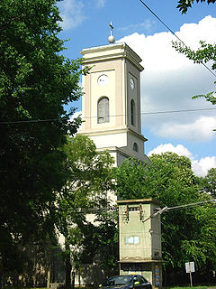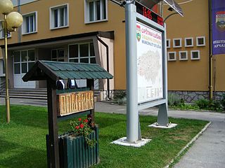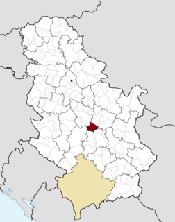
Ada is a town and municipality located in the North Banat District of the autonomous province of Vojvodina, Serbia. It is situated near the river Tisa in the geographical region of Bačka. The town has a population of 9,564, while the municipality has 16,991 inhabitants.

Pećinci is a town and municipality located in the Srem District of the autonomous province of Vojvodina, Serbia. The village has a population of 2,571 (2011), while Pećinci municipality has 19,675 inhabitants.

Nova Crnja is a village and municipality located in the Central Banat District of the autonomous province of Vojvodina, Serbia. The village has a population of 1,491, while the municipality has 10,272 inhabitants.

Vladimirci is a village and municipality located in the Mačva District of western Serbia. According to the 2011 census results, the population of the village is 1,898, while population of the municipality is 14,546.

Sjenica, is a town and municipality located in the Zlatibor District of southwestern Serbia. The population of the town, according to 2011 census, is 14,060 inhabitants, while the municipality has 26,392.

Raška is a town and municipality located in the Raška District of southwestern Serbia. The municipality has a population of 24,680 people, while the town has a population of 6,574 people. It covers an area of 670 km². The town is situated on the rivers Raška and Ibar.

Žitorađa is a village and municipality located in the Toplica District of the southern Serbia. The municipality includes 30 settlements. According to the 2011 census, the population of the municipality is 16,368 inhabitants.

Osečina is a town and municipality located in the Kolubara District of western Serbia. As of 2011, the population of the town is 2,730, while population of the municipality is 12,571 inhabitants.

Lučani is a town and municipality located in the Moravica District of western Serbia. The population of the town is 5,142, while the population of the municipality is 20,897.

Malo Crniće is a village and municipality located in the Braničevo District of the eastern Serbia. In 2011, the population of the village is 719, while population of the municipality is 11,422.

Žabari is a village and municipality located in the Braničevo District of the eastern Serbia. In 2011, the population of the village is 1,163, while the population of the municipality is 10,969.

Rekovac is a village and municipality located in the Pomoravlje District of central Serbia. According to 2011 census, the population of the village is 1,587, while population of the municipality is 10,971. Rekovac is the center of small geographical region called Levač.

Brus is a town and municipality located in the Rasina District of central Serbia. According to the 2011 census, the population of the town is 4,572, while the population of the municipality is 16,293. It is located at 430 metres (1,410 ft) above sea level, just below the Kopaonik ski resort. The city is surrounded by hills on three levels, where the lowest one is a place where the Grasevka river firths into the Rasina river. On the upper level of the town a fountain of medicinal mineral water is located.

Blace is a town and municipality located in the Toplica District of the southern Serbia. According to 2011 census, the population of the town is 5,253, while population of the municipality is 11,754.

Gadžin Han is a village and municipality located in the Nišava District of the southern Serbia. According to 2011 census, the municipality has 8,389 inhabitants.

Babušnica is a town and municipality located in the Pirot District of south|eastern Serbia. According to 2011 census, the population of the town is 4,601, while population of the municipality is 12,307.

Bojnik is a village and municipality located in Jablanica District of southern Serbia. According to 2011 census, the population of the village is 6,688 while population of the municipality was 11,073.

Parta is a village in Serbia. It is situated in the Vršac municipality, in the South Banat District. The village has a Serb ethnic majority (95.49%) and its population numbers 376 people.

Miletićevo is a village located in the Plandište municipality, in the South Banat District, Vojvodina, Serbia. As of 2011, the village has a population of 497 inhabitants.

Zasavica I, also known as Zasavica or Gornja Zasavica, is a village in the Sremska Mitrovica municipality, in Serbian province of Vojvodina. The village has a Serb ethnic majority and its population numbering 772 people.


