Pokli पोकली Poki | |
|---|---|
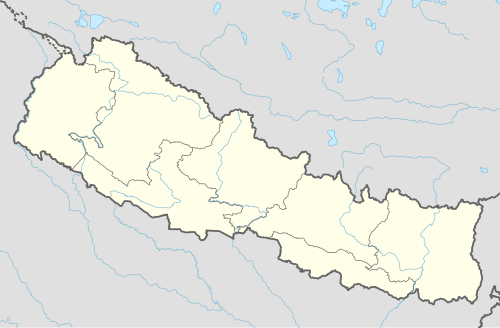 Pokli Location in Nepal | |
| Coordinates: 27°26′N86°17′E / 27.433°N 86.283°E | |
| Country | |
| Zone | Sagarmatha Zone |
| District | Okhaldhunga District |
| Population (1991) | |
• Total | 2,610 |
| Time zone | UTC+5:45 (Nepal Time) |
Pokli is a village development committee in Okhaldhunga District in the Sagarmatha Zone of mid-eastern Nepal. At the time of the 1991 Nepal census it had a population of 2610 living in 529 individual households. [1]
