Poptún Airport | |||||||||||
|---|---|---|---|---|---|---|---|---|---|---|---|
| Summary | |||||||||||
| Airport type | Public | ||||||||||
| Serves | Poptún, Guatemala | ||||||||||
| Elevation AMSL | 1,693 ft / 516 m | ||||||||||
| Coordinates | 16°19′35″N89°25′00″W / 16.32639°N 89.41667°W Coordinates: 16°19′35″N89°25′00″W / 16.32639°N 89.41667°W | ||||||||||
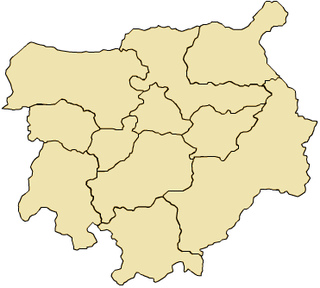
| Map | |||||||||||
 PON Location in Petén Department  PON Location in Guatemala | |||||||||||
| Runways | |||||||||||
| |||||||||||
Poptún Airport( IATA : PON, ICAO : MGPP) is an airport serving the town of Poptún in Guatemala.
An IATA airport code, also known as an IATA location identifier, IATA station code or simply a location identifier, is a three-letter code designating many airports around the world, defined by the International Air Transport Association (IATA). The characters prominently displayed on baggage tags attached at airport check-in desks are an example of a way these codes are used.

The ICAOairport code or location indicator is a four-letter code designating aerodromes around the world. These codes, as defined by the International Civil Aviation Organization and published in ICAO Document 7910: Location Indicators, are used by air traffic control and airline operations such as flight planning.

Poptún is a municipality in the El Petén department of Guatemala. It covers an area of 1,128 km2, and had a population of 35,663 at the 2002 Census; the latest official estimate was 64,988. It is some 385 km from Guatemala City. Since 1989, Military Zone 23 in Poptún has been the home of the Guatemalan Army's elite Kaibiles special operations force.
Contents
The runway is within the town. There are low hills 2 kilometres (1.2 mi) south of the airport.