Before the French took control in the 17th century, Guadeloupe was home to the Kalinago and other indigenous peoples. Portland grew as part of this colonial history, developing around traditional livelihoods such as farming and fishing during the French colonial period.
Geography and economy
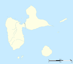
Portland is situated on one of Guadeloupe’s two main islands, either Basse-Terre or Grande-Terre. Its tropical climate supports agriculture, with crops like sugar cane and bananas being common. Thanks to its coastal location, fishing is also a significant activity. Recently, tourism has started to play a growing role in diversifying Portland’s local economy.
Culture and community life
The people of Portland speak both French and Antillean Creole. The community keeps its cultural traditions alive through music, dance, and festivals, all while adapting to the demands of modern life. Family ties and communal support remain strong pillars of everyday life.[1]
This page is based on this Wikipedia article Text is available under the CC BY-SA 4.0 license; additional terms may apply. Images, videos and audio are available under their respective licenses.