Puerto Rico Highway 413 (PR-413) is a rural road located at the west point of Rincón, Puerto Rico, and is famous in the island for being the main access to beaches near Tres Palmas and the Rincón Lighthouse, where local and international surfing tournaments take place. It is named the Road to Happiness. This highway begins near PR-115 in downtown Rincón, near the west end of Barrio Ensenada. Then it passes trhough Barrio Puntas and ends at PR-115, near the south end of Barrio Río Grande, heading to Aguada, Puerto Rico.
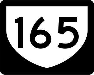
Puerto Rico Highway 165 (PR-165) is the road that goes from Naranjito to Guaynabo. The highway passes by Toa Alta, Toa Baja, Dorado, Levittown, Cataño and Guaynabo.

Puerto Rico Highway 142 (PR-142) is a north–south road that connects the northern region of Puerto Rico with the municipality of Corozal. With a length of about 8.2 kilometers (5.1 mi), PR-142 crosses the municipalities of Dorado, Toa Alta and Corozal, extending from PR-2 in Dorado to PR-159 near downtown Corozal.
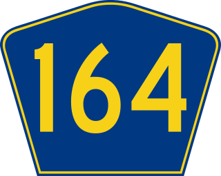
Puerto Rico Highway 164 (PR-164) is the main road from Naranjito to Corozal. It begins at the intersection of PR-167 and PR-148, to reach the center of Naranjito. Then it goes to Corozal across the PR-5, PR-152 and PR-165 to finish in the PR-159 in Corozal. This road is 16.4 km (10.2 mi) in length.
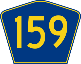
Puerto Rico Highway 159 (PR-159) is the main road from Morovis to Toa Alta, passing through the municipality of Corozal, Puerto Rico.

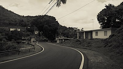
Puerto Rico Highway 891 (PR-891) is the road that goes to downtown Corozal, Puerto Rico. This road can be seen as the Alt 159, since this road was the PR-159 through the area from the town center.

Puerto Rico Highway 866 (PR-866) is a main highway in the city of Toa Baja, Puerto Rico. It begins at its intersection with PR-2 in Candelaria and ends at PR-167 in Levittown.

Puerto Rico Highway 722 (PR-722) is a rural road located in Aibonito, Puerto Rico. It begins at its intersection with PR-14 east of downtown Aibonito and ends at the Ruta Panorámica between Robles and Pasto barrios. The traditional Festival de las Flores is celebrated near this road.

Puerto Rico Highway 568 (PR-568) is a road that travels from Orocovis to Corozal, Puerto Rico. It begins at its intersection with PR-5155 in downtown Orocovis and ends at PR-159 in western Corozal.

Puerto Rico Highway 805 (PR-805) is an east–west road located in Corozal, Puerto Rico. It extends from its intersection with PR-568 near the Cuchillas boundary, passing through Negros barrio until its junction with PR-803 in Palos Blancos area.

Puerto Rico Highway 807 (PR-807) is a north–south road located in Corozal, Puerto Rico. It begins at Calle San Manuel in downtown Corozal, passing through Dos Bocas barrio until its southern terminus at its junction with PR-805 on the Palos Blancos–Negros line.

Puerto Rico Highway 818 (PR-818) is a road located in Corozal, Puerto Rico. It begins at its junction with PR-159 near downtown Corozal, and ends at Baja del Palo sector in Cibuco barrio.

Puerto Rico Highway 888 (PR-888) is a road located in Cataño, Puerto Rico. It goes from PR-165 in Palmas barrio to downtown Cataño, bordering San Juan Bay until its end at PR-5 in La Puntilla sector. The entire route is known as Avenida Las Nereidas.

Puerto Rico Highway 869 (PR-869) is a north–south road located in Cataño, Puerto Rico. It begins at its intersection with PR-5 and PR-22 near Bayamón municipal limit and ends at its junction with PR-165 near Toa Baja municipal limit.

Puerto Rico Highway 819 (PR-819) is a north–south rural road located between the municipalities of Toa Alta and Toa Baja, Puerto Rico. It begins at PR-861 on the Ortiz–Mucarabones line in Toa Alta, and ends at PR-863 in Candelaria barrio in Toa Baja.

Puerto Rico Highway 862 (PR-862) is a north–south road located between the municipalities of Bayamón and Toa Alta, Puerto Rico.

Puerto Rico Highway 863 (PR-863) is a road located in Toa Baja, Puerto Rico.

Puerto Rico Highway 864 (PR-864) is an east–west road located in Bayamón, Puerto Rico. Located south of PR-2, the entire road is located in Hato Tejas barrio. This route intersects with PR-2 at its eastern and western terminus, and bring access to several neighborhoods of the western area of Bayamón.

Puerto Rico Highway 567 (PR-567) is a north–south rural road located between the municipalities of Orocovis and Morovis, Puerto Rico. It extends from its junction with PR-157 on the Barros–Damián Arriba line in Orocovis, passing through Vaga, Pasto and San Lorenzo barrios until its end at its intersection with PR-145 and PR-6622 in the Torrecillas–Morovis Norte line in Morovis.

Puerto Rico Highway 647 (PR-647) is a north–south road located between the municipalities of Corozal and Vega Alta, Puerto Rico. It extends from its junction with PR-159 and PR-5568 on the Cibuco–Padilla line in western Corozal, passing through Cienegueta, Candelaria and Bajura barrios until its end at PR-676 in downtown Vega Alta.

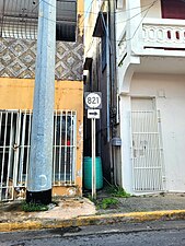
 Puerto Rico Highway 821 in Abras barrio