Puerto Rico Highway 22 (PR-22), also part of unsigned Interstate PR2, is an 84.3 km (52.4 mi) long toll road on the north coast of Puerto Rico that connects the cities of San Juan and Hatillo. The road is also known as the José de Diego Expressway, and is part of unsigned Interstate PR-2. It is a 4-lane road for much of its length, but expands to up to 12 lanes in the San Juan metro area. The road is frequently congested, in particular during rush hour due to heavy commuter traffic.

Puerto Rico Highway 2 (PR-2) is a road in Puerto Rico that connects the cities of San Juan and Ponce. At 156 miles (230 km) long, it is Puerto Rico's longest singled-signed highway.

Puerto Rico Highway 116 (PR-116) is a main highway in the southwest part of Puerto Rico, beginning in Guánica, Puerto Rico at Puerto Rico Highway 2 to Lajas, Puerto Rico at Puerto Rico Highway 101.
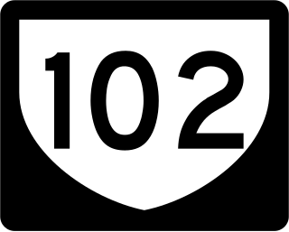
Puerto Rico Highway 102 (PR-102) is a main highway in the southwestern portion of the Porta del Sol region of Puerto Rico. It begins at Puerto Rico Highway 2 north of central Mayagüez and runs through the municipalities of Cabo Rojo and San Germán, coming to an end in downtown Sabana Grande.
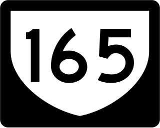
Puerto Rico Highway 165 (PR-165) is the road that goes from Naranjito to Guaynabo. The highway passes by Toa Alta, Toa Baja, Dorado, Levittown, Cataño and Guaynabo.

Puerto Rico Highway 142 (PR-142) is a north–south road that connects the northern region of Puerto Rico with the municipality of Corozal. With a length of about 8.2 kilometers (5.1 mi), PR-142 crosses the municipalities of Dorado, Toa Alta and Corozal, extending from PR-2 in Dorado to PR-159 near downtown Corozal.
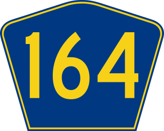
Puerto Rico Highway 164 (PR-164) is the main road from Naranjito to Corozal in Puerto Rico. It begins at the intersection of PR-167 and PR-148 in eastern Naranjito, passing through downtown. Then it goes to Corozal from its junction with PR-5 and PR-152 until reaching PR-159 near downtown Corozal. This road is 16.4 km (10.2 mi) in length.
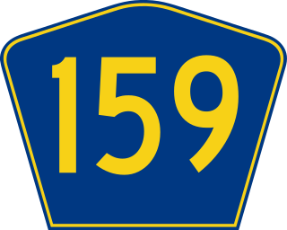
Puerto Rico Highway 159 (PR-159) is the main road from Morovis to Toa Alta, passing through the municipality of Corozal in Puerto Rico. This road begins in downtown Morovis, from its intersection with PR-155 and PR-6623 to its junction with PR-165 in Toa Alta. It is about 21 km (13 mi) long.

Puerto Rico Highway 891 (PR-891) is the road that goes to downtown Corozal, the administrative center of Corozal, Puerto Rico. With a length of 1.8 km (1.1 mi), this road can be seen as the Alt 159, since it was the original alignment of PR-159 through the municipal center.
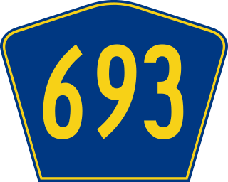
Puerto Rico Highway 693 (PR-693) is a road located between the municipalities of Dorado, Puerto Rico and Vega Alta, passing through downtown Dorado. It begins at its intersection with PR-2 and PR-165 in Río Lajas and ends at PR-690 in Sabana. It is a short divided highway in southern Dorado, which serves as an alternate route for PR-165 west of Río de la Plata.

Puerto Rico Highway 155 (PR-155) is a rural road that goes from Coamo, Puerto Rico to Vega Baja through Orocovis and Morovis. It extends from PR-14 in downtown Coamo to PR-2 east of downtown Vega Baja.
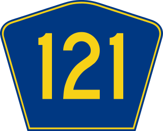
Puerto Rico Highway 121 (PR-121) is a road that travels from Sabana Grande, Puerto Rico to Yauco. This highway begins at its intersection with PR-102 and PR-368 in downtown Sabana Grande and ends at its junction with PR-127 and PR-128 in Susúa Baja.
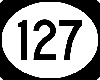
Puerto Rico Highway 127 (PR-127) is a road that travels from Yauco, Puerto Rico to Peñuelas. This highway begins at its intersection with PR-121 and PR-128 in Susúa Baja and ends at its junction with PR-2 in Encarnación, passing through downtown Guayanilla.

Puerto Rico Highway 140 (PR-140) is a road that travels from Jayuya, Puerto Rico to Barceloneta, passing through Utuado, Ciales and Florida. This highway begins at PR-143 in Pica barrio and ends at PR-2 in Florida Afuera barrio.

Puerto Rico Highway 818 (PR-818) is an east–west road located in the municipality of Corozal in Puerto Rico. With a length of 4.3 km (2.7 mi), it begins at its junction with PR-159 in Barrio Pueblo, and ends at Baja del Palo sector in Barrio Cibuco.
Puerto Rico Highway 869 (PR-869) is a north–south road located in Cataño, Puerto Rico. It begins at its intersection with PR-5 and PR-22 near Bayamón municipal limit and ends at its junction with PR-165 near Toa Baja municipal limit.

Puerto Rico Highway 819 (PR-819) is a north–south rural road located between the municipalities of Toa Alta and Toa Baja in Puerto Rico. With a length of 4.2 kilometers (2.6 mi), it begins at PR-861 on the Ortiz–Mucarabones line in Toa Alta, and ends at PR-863 in Candelaria barrio in Toa Baja.

Puerto Rico Highway 862 (PR-862) is a north–south road located between the municipalities of Bayamón and Toa Alta in Puerto Rico. With a length of 3.6 kilometers (2.2 mi), it begins at its intersection with PR-861 in Pájaros barrio and ends at its junction with PR-864 in Hato Tejas area.

Puerto Rico Highway 863 (PR-863) is a road located in the municipality of Toa Baja in Puerto Rico. With a length of 2.5 kilometers (1.6 mi), it begins at its intersection with PR-2 in Candelaria barrio and ends at its junction with PR-862 on the Toa Baja–Toa Alta–Bayamón municipal tripoint.

Puerto Rico Highway 647 (PR-647) is a north–south road located between the municipalities of Corozal and Vega Alta in Puerto Rico. With a length of 12.8 km (8.0 mi), it extends from its junction with PR-159 and PR-5568 on the Cibuco–Padilla line in western Corozal, passing through Cienegueta, Candelaria and Bajura barrios until its end at PR-676 in downtown Vega Alta.

 Puerto Rico Highway 866 north in Candelaria barrio


