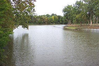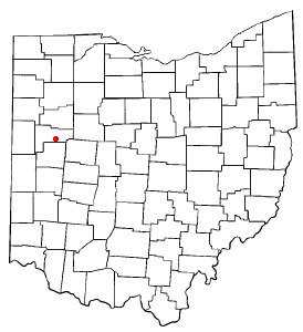
The Ottawa River is a tributary of the Auglaize River, approximately 50 miles (80 km) long, in northwestern Ohio in the United States. The river is named for the Ottawa tribe of Native Americans who inhabited the area in the 18th century. It shares its name with another river in northwestern Ohio, the Ottawa River in Toledo, as well as the Ottawa river in Ontario & Quebec Canada.

The Blanchard River is a 103-mile-long (166 km) tributary of the Auglaize River in northwestern Ohio in the United States. It drains a primarily rural farming area in the watershed of Lake Erie.
Flatrock Creek is a 57.2-mile-long (92.1 km) tributary of the Auglaize River in northeastern Indiana and northwestern Ohio in the United States. It drains a primarily rural farming area in the watershed of Lake Erie.

Moulton Township is one of the fourteen townships of Auglaize County, Ohio, United States. The 2010 census found 1,694 people in the township.

Pusheta Township is one of the fourteen townships of Auglaize County, Ohio, United States. The 2010 census found 1,301 people in the township.
Loramie Creek is a 40.0-mile-long (64.4 km) tributary of the Great Miami River in western Ohio in the United States. Via the Great Miami and Ohio rivers, it is part of the watershed of the Mississippi River, draining an area of 265 square miles (690 km2). According to the Geographic Names Information System, the stream has also been known historically as "Laramie Creek," "Loramie Ditch," "Loramies Creek," and "Lonamie Creek." It is named after Louis Lorimier, a French-Canadian fur trader who had a trading post in the area in the 18th century.

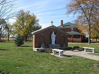
Saint Johns is a census-designated place located along the border between the Union and Clay townships of Auglaize County, Ohio, United States. As of the 2010 census it had a population of 185.

Fryburg is an unincorporated community located in central Pusheta Township, Auglaize County, Ohio, United States.

Van Buren Township is one of the fourteen townships of Shelby County, Ohio, United States. The 2000 census found 1,599 people in the township, 1,424 of whom lived in the unincorporated portions of the township.

Geyer is an unincorporated community in southwestern Clay Township, Auglaize County, Ohio, United States.
Sugar Creek is a stream in the U.S. state of Ohio. It is a tributary of the Ottawa River.
Jennings Creek is a stream in the U.S. state of Ohio. The 14.5-mile (23.3 km) long stream is a tributary of the Auglaize River.
Twin Creek is a stream in the U.S. state of Ohio. The 46.2-mile (74.4 km) long stream is a tributary of Great Miami River.
Blackhoof Creek is a stream located entirely within Auglaize County, Ohio. The 6-mile (9.7 km) long stream is a tributary of the Auglaize River.
Gutman is an unincorporated community in Auglaize County, in the U.S. state of Ohio.
Spring Creek is a stream in the U.S. state of Ohio. The 12.4-mile (20.0 km) stream is a tributary of the Great Miami River.
Ludlow Creek is a stream in the U.S. state of Ohio. The 13.5-mile (21.7 km) long stream is a tributary of the Stillwater River.
Canton Creek is a stream in the U.S. state of Georgia. It is a tributary to the Etowah River.


