Related Research Articles

Abadia dos Dourados is a Brazilian municipality located in the northwest of the state of Minas Gerais. Its population as of 2020 was 7,006 people living in a total area of 894 km². The city belongs to the mesoregion of Triângulo Mineiro e Alto Paranaiba and to the microregion of Patrocínio. It became a municipality in 1948.

Alagoa is a city in the Brazilian state of Minas Gerais. In 2020 its population was estimated to be 2,665.
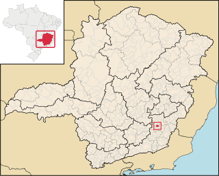
Teixeiras is a Brazilian municipality located in the state of Minas Gerais. The city belongs to the mesoregion of Zona da Mata and to the microregion of Viçosa. As of 2020, the estimated population was 11,670.

Silveirânia is a Brazilian municipality located in the state of Minas Gerais. The city belongs to the mesoregion of Zona da Mata and to the microregion of Rio Pomba. As of 2020, the estimated population was 2,264.

São Pedro dos Ferros is a Brazilian municipality located in the state of Minas Gerais. The city belongs to the mesoregion of Zona da Mata and to the microregion of Ponte Nova. As of 2020, the estimated population was 7,706.

Pompéu is a municipality in the north of the Brazilian state of Minas Gerais. As of 2020 the population was 32,035 in a total area of 2,557 km2. It became a municipality in 1938.

Conselheiro Pena, formerly known as "Lajao", is located in the state of Minas Gerais, Brazil. This town of 20,000+ inhabitants, was formed alongside the "Rio Doce", or Sweet River.

Pedra Dourada is a Brazilian municipality located in the state of Minas Gerais. The city belongs to the mesoregion of Zona da Mata and to the microregion of Muriaé. As of 2020, the estimated population was 2,532.
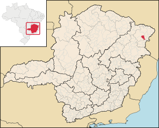
Felisburgo is a Brazilian municipality located in the northeast of the state of Minas Gerais.

Joaíma is a Brazilian municipality located in the northeast of the state of Minas Gerais.
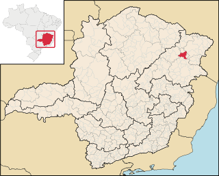
Ponto dos Volantes is a Brazilian municipality located in the northeast of the state of Minas Gerais. The city belongs to the mesoregion of Jequitinhonha and to the microregion of Araçuaí. As of 2020 the population was 12,179 in an area of 1,215 km². The elevation is 400 meters. It became a municipality in 1997. The postal code (CEP) is 39615-000.
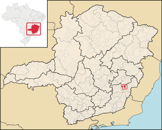
Caputira is a Brazilian municipality located in the state of Minas Gerais. The city belongs to the mesoregion of Zona da Mata and to the microregion of Manhuaçu. As of 2020, the estimated population was 9,308.
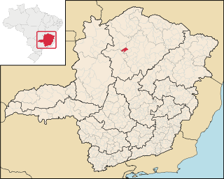
Campo Azul is a Brazilian municipality located in the north of the state of Minas Gerais. In 2020 the population was 3,824 in a total area of 506 km². It became a municipality in 1995.
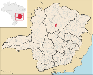
Claro dos Poções is a Brazilian municipality located in the north of the state of Minas Gerais. In 2020 the population was 7,514 in a total area of 706 km². It became a municipality in 1962.
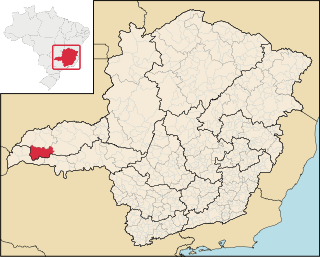
Campina Verde is a municipality in the north of the Brazilian state of Minas Gerais. As of 2020 the population was 19,752 in a total area of 3,663 km². It became a municipality in 1938.

Doradoquara is a Brazilian municipality located in the northwest of the state of Minas Gerais. Its population as of 2020 was 1,912 people living in a total area of 313 km². The city belongs to the mesoregion of Triângulo Mineiro e Alto Paranaiba and to the microregion of Patrocínio. It became a municipality in 1962.

Iraí de Minas is a Brazilian municipality located in the northwest of the state of Minas Gerais. Its population as of 2020 was 7,027 people living in a total area of 357 km². The city belongs to the mesoregion of Triângulo Mineiro e Alto Paranaiba and to the microregion of Patrocínio. It became a municipality in 1962.
Senador José Bento is a municipality in the state of Minas Gerais in the Southeast region of Brazil.

Itanhomi is a municipality in the state of Minas Gerais in the Southeast region of Brazil.
São José da Safira is a municipality in the state of Minas Gerais in the Southeast region of Brazil.
References
- Map from Ministry of Transport
- Rand McNally, The New International Atlas, 1993.
Coordinates: 19°10′S47°39′W / 19.167°S 47.650°W