Related Research Articles

Warrumbungle National Park is a heritage listed national park located in the Orana region of New South Wales, Australia. The national park is located approximately 550 kilometres (340 mi) northwest of Sydney and contained within 23,311 hectares. The park attracts approximately 35,000 visitors per annum.
The Billabong Creek, a perennial river of the Murrumbidgee catchment within the Murray–Darling basin, is located in the South West Slopes region of New South Wales, Australia.

The Castlereagh League is a rugby league competition in western New South Wales, Australia, run under the auspices of the Country Rugby League. For all intents and purposes the competition is effectively the Group 14 Rugby League senior competition, and the league has re-obtained Group status as of 2023, but will not revert to the Group 14 name for branding reasons.

Baradine County is one of the 141 Cadastral divisions of New South Wales. It is bounded in the north by the Namoi River, and includes the land south to Coonabarabran, which is on its southern edge. This includes land on both sides of the Baradine Creek and the town of Baradine.

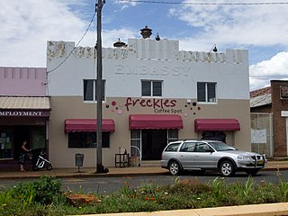
Baradine is a small town in north western New South Wales, Australia. At the 2021 census, Baradine had a population of 593.
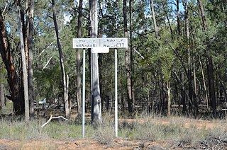
Kenebri is a locality in northern New South Wales, Australia.
The Chichester River, a perennial stream of the Hunter River catchment, is located in the Hunter region of New South Wales, Australia.

Pages River, a perennial river of the Hunter River catchment, is located in the Hunter region of New South Wales, Australia.
Murrawal is a location on the now closed Gwabegar railway line in north-western New South Wales, Australia. A loop and loading bank station was located there between 1917 and 1972.
Tumbarumba Creek, a watercourse of the Murray catchment within the Murray–Darling basin, is located in the region bordering the Riverina and Australian Alps of New South Wales, Australia.
Bettowynd Creek, a partly perennial stream of the Moruya River catchment, is located in the Southern Tablelands and South Coast regions of New South Wales, Australia.
Meit Parish is a civil parish of Baradine County, New South Wales.

Pilliga Parish (Baradine County) is a civil parish of Baradine County, New South Wales.
Talluba Parish(Baradine County) is a civil parish of Baradine County, New South Wales.
Urawilkie, New South Wales is a remote Rural locality of New South Wales and a civil Parish of Baradine County.
Euligal located at 30°41′54″S 149°05′04″E in Narrabri Shire is a civil parish of Baradine County, New South Wales. Euligal is in the Pilliga forest.
Ulambie is a rural locality of Walgett Shire and a civil parish of Baradine County, New South Wales. Ulambie is on the Namoi River at 30°05′54″S 148°12′04″E between Walgett, New South Wales and Come By Chance.
Toorawandi is a civil parish of Napier County in New South Wales.

Elongery, New South Wales is a bounded rural locality of Wurrumbungle Shire and a civil parish of Baradine County, New South Wales.
References
- ↑ "Baradine". Geographical Names Register (GNR) of NSW. Geographical Names Board of New South Wales.
- ↑ Robert McLean, The New atlas of Australia : the complete work containing over one hundred maps and full descriptive geography of New South Wales, Victoria, Queensland, South Australia and Western Australia, together with numerous illustrations and copious indices (Sydney :J. Sands, [1886) Map 14.