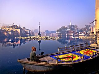
Mirzapur is a city in Uttar Pradesh, India. It is known for its carpets and brassware industries, and the tradition of kajari and birha music. Straddled by the Maikal Hills, it served as the headquarters of the Mirzapur district.

Deoria district, one of the districts of eastern Uttar Pradesh, India has its headquarters located at Deoria and is a part of Gorakhpur division. It came into existence on 16 March 1946 from Gorakhpur district.

Mathura district is situated along the banks of the river Yamuna is a district of Uttar Pradesh state of north-central India. The historic city of Mathura is the district headquarters. Mathura district is home to many important sites associated with goddess Radha and Lord Krishna, who was born in Mathura and grew up in the nearby town of Vrindavan. Both cities are some of the most sacred sites in the Vaishnava tradition, making Mathura district an important Hindu pilgrimage centre.

Bhind district is a district in the Chambal division of the Indian state of Madhya Pradesh. It share border of Morena, Gwalior and Etawah The town of Bhind is the district headquarters.Bhind District is situated in Chambal region in the northwest of the state.

Una is a City and a Municipal Council in Una district in the Indian state of Himachal Pradesh. It serves as the headquarters of Una district. There are 11 wards under Municipal Council. Una City is home to the Kila, which is a historical fort and an ancestral home of the descendants of the first guru of the Sikhs, Guru Nanak.

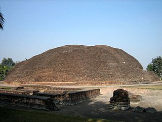
Kushinagar is a district of the state of Uttar Pradesh in India situated in the easternmost part of the state. It has the administrative headquarters at Ravindra Nagar Dhoos. The district is named such after the town Kushinagar, a Buddhist pilgrimage site where Gautama Buddha attained parinirvana in the 5th century BCE. Since the independence of India, Kushinagar district was a part of Deoria District and came into existence on 13 May 1994 as a separate district division. It was earlier known as Padrauna and thereafter was renamed Kushinagar on 19 June 1997.
Mauranipur is a town and a municipal board in Jhansi district state of Uttar Pradesh, India. It is located in the Jhansi District. It is the largest tehsils in India by land area. This town was known for textile production, known in ancient times as Madhupuri. Because of its high density of temples, it is known by some locals as Mini-Ayoddhya. Jalvihar Mela and Viman Yatra are the most famous events in Mauranipur. The Kedareshwar temple and the Saprar Dam are located near Mauranipur.
Atrauli is a town and a municipal board in Aligarh district in the state of Uttar Pradesh, India. Situated on the bank of the river Ganges, Atrauli is around 27 km (17 mi) from Aligarh and 52 km (32 mi) from Khair.

{{Infobox settlement | name = Bilariyaganj | other_name = | nickname = | settlement_type = City Azamgarh | image_skyline =
Doharighat is a town and a nagar panchayat in Mau district in the state of Uttar Pradesh, India.

Almora is a municipal corporation and a cantonment town in the state of Uttarakhand, India. It is the administrative headquarters of Almora district. Almora is located on a ridge at the southern edge of the Kumaon Hills of the Himalaya range. The Koshi (Kaushiki) and Suyal (Salmale) rivers flow along the city and snow-capped Himalayas can be seen in the background.

Hindupuram is a city in Sri Sathya Sai district of the Indian state of Andhra Pradesh. It is located to the edge of the Andhra–Karnataka border and is the headquarters of Hindupuram mandalam. Hindupuram is the Parliamentary Constituency in the newly formed District Sri Sathya Sai. It is located about 67 km from district headquarters Puttaparthi, 100 km from Bengaluru the capital of Karnataka, 95 km From Kadiri.
Pipri is a town and a nagar panchayat in Sonbhadra district in the Indian state of Uttar Pradesh.

Rasra is a city and a municipal board in Ballia district in the Indian state of Uttar Pradesh. It is one among six tehsils that come under Ballia district, Rasra is also known as 'Chhoti Kashi' and 'Nath Nagri' due to the presence of Nath Baba mandir which is a well known religious spot. In past the production of sugar from rotten sugarcanes lead to the city being named 'Rasra' which is a portmanteau word made-up of two hindi words 'Ras' (रस) meaning juice and 'Sada/Sara' (सड़ा) meaning rotten. It has an important market for the nearby villages. Lounglatta is the famous sweet of Rasra. Dussehra is one of two very prominent festivals, here, alongside Chhath. Rasra has top schools of district. Rasra has second largest Durga Puja celebration in Uttar Pradesh after Ram Nagar, Varanasi. Rasra has a busy fish market, chicken market and mutton narket. It has also Sadar Bazaar, Station Road Market, Hospital Complex Market, Mission Road Market, Kali Maa ka chauraha. This place is known for all religious cultures, and has many temples, churches and mosques.

Renukoot is a town and a nagar panchayat in Sonbhadra district in the Indian state of Uttar Pradesh. It is 68 km south from the district headquarters Robertsganj.
Hatta is the biggest Tehsil in Damoh district in the state of Madhya Pradesh, India. It is also headquarters of Hatta Tehsil.

In Hinduism, the yatra (pilgrimage) to the tirthas has special significance for earning the punya needed to attain the moksha (salvation) by performing the darśana, the parikrama (circumambulation), the yajna, the Dhyana, the puja (worship), the prarthana, the dakshina, the seva, the bhandara, etc. These sacred places are usually located on the banks of sacred waters, such as sacred rivers or their tributaries, the kundas, the ghats, or the stepwells, or the temple tanks.

Kunda is a town and a Tehsil in Pratapgarh district in the Indian state of Uttar Pradesh.

Shri Paramhans Swami Advaitanand Ji Maharaj, also known as Shri Paramhans Dayal Maharaj Ji, was born in Chhapra City, India. Shri is known as the "First Spiritual Master" of the Shri Paramhans Advait Mat, while also initiated the "Second Master" and Shri Swami Swarupanand Ji Maharaj in the early 1900s.

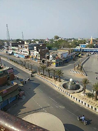
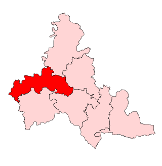
Ramkola is a constituency of the Uttar Pradesh Legislative Assembly covering the city of Ramkola in the Kushinagar district of Uttar Pradesh, India.


