Ramsund | |
|---|---|
Village | |
 | |
 Ramsund  Ramsund | |
| Coordinates: 68°29′31″N16°31′06″E / 68.4920°N 16.5184°E | |
| Country | Norway |
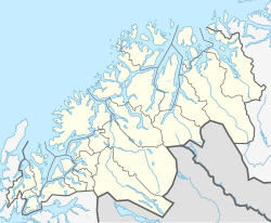
| Region | Northern Norway |
| County | Troms |
| District | Ofoten |
| Municipality | Tjeldsund Municipality |
| Area | |
• Total | 0.6 km2 (0.2 sq mi) |
| Elevation | 15 m (49 ft) |
| Population (2022) [1] | |
• Total | 318 |
| • Density | 530/km2 (1,400/sq mi) |
| Time zone | UTC+01:00 (CET) |
| • Summer (DST) | UTC+02:00 (CEST) |
| Post Code | 9442 Ramsund |
Ramsund is a village in Tjeldsund Municipality in Troms county, Norway. The village is located on the eastern shore of the Ramsundet strait, just south of the Ramsund Bridge. The 0.6-square-kilometre (150-acre) village has a population (2022) of 318 and a population density of 530 inhabitants per square kilometre (1,400/sq mi). [1]
Ramsund Chapel is located in this village. The main Norwegian Naval base for the north is located south of the village and is the home for the Marinejegerkommandoen unit. [3]
 Norwegian Navy and US Navy personnel in the hills above Ramsund in Feb 2017
 Historical image of Ramsundet strait, taken 1900-1910

