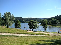
Google Maps is a web mapping service developed by Google. It offers satellite imagery, aerial photography, street maps, 360° interactive panoramic views of streets, real-time traffic conditions, and route planning for traveling by foot, car, bicycle and air, or public transportation. In 2020, Google Maps was used by over 1 billion people every month.
The Ranna–Auerbach railway was an 8-kilometre long branch line or Lokalbahn in Bavaria in southern Germany, which linked Auerbach in der Oberpfalz via Ranna to the Nuremberg–Cheb railway. It replaced the cable railway built in 1882 from the Maxhütte to Sulzbach-Rosenberg, which until then had transported mineral resources in the region around Auerbach to the railway.

The Sommerkahl is a small river in the northern Spessart in Lower Franconia, Bavaria, Germany. Near Langenborn the Sommerkahl empties from the left into the Kahl. Together with Westerbach, Reichenbach and Geiselbach the Sommerkahl is one of the largest tributaries of the Kahl.

Berchtesgadener Ache is a river of Bavaria, Germany and of Salzburg, Austria. It is formed at the confluence of the Ramsauer Ache and the Königsseer Ache in Berchtesgaden. It flows into the Salzach near Anif.

Fischbach is a river of the Ammergau Alps, southwest of Oberammergau, in Bavaria, Germany and at the border between Bavaria and Tyrol, Austria.
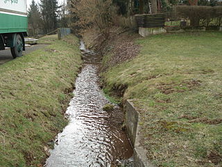
Huckelheimer Bach is a small river of Bavaria, Germany. It is the right headwater of the Westerbach in Westerngrund.
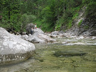
Steinbach is a river of Bavaria, Germany and of Salzburg, Austria. It is a tributary of the Saalach between Unken and Schneizlreuth.
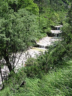
Weißbach is a river of Bavaria, Germany and Salzburg, Austria. Its source lies at the northern slope of the Dreisesselberg which is one of the Latten Mountains. It discharges in Weißbach, a district of Bad Reichenhall, into the Grabenbach, which itself discharges into the Saalach.

Perlenbach is a river of Bavaria, Germany. It is the left headstream of the Schwesnitz in Rehau.

Querbach is a river of Bavaria, Germany. It is the left headwater of the Westerbach.
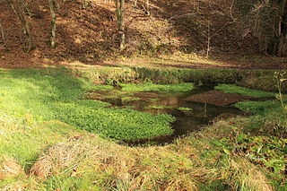
Schnaittach is a river of Bavaria, Germany. It is a right tributary of the Pegnitz near Neunkirchen am Sand. It passes through the town Schnaittach.
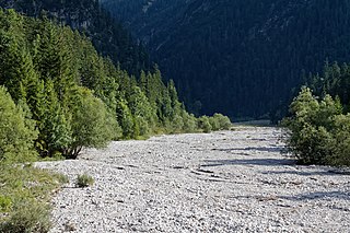
The Neualmbach, also called Neualpbach, is a river which lies in its entire course on the border between Bavaria, Germany and Tyrol, Austria, in the Ammergau Alps.

Oberstjägermeisterbach is a small river of Bavaria, Germany. It flows through the Englischer Garten in Munich. It branches off the Eisbach, and flows into the Schwabinger Bach.

Mutterbach is a river of Hesse and Bavaria, Germany.

Forellenbach is a river of Bavaria, Germany. It is a right tributary of the Eger near Möttingen.
The Ebrach is a river of Bavaria, Germany.
Steinbach is a river of Bavaria, Germany.
Sulzbach is a river of Bavaria, Germany. It is a left tributary of the Rott near Neuhaus am Inn.
Wiesbach is a river of Bavaria, Germany.
