
Ulrich Karl Christian Graf von Brockdorff-Rantzau was a German diplomat who became the first Foreign Minister of the Weimar Republic. In that capacity, he led the German delegation at the Paris Peace Conference but resigned over the signing of the Treaty of Versailles. He was also the German ambassador to the Soviet Union from 1922 to 1928.
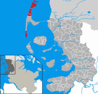
Landschaft Sylt is an Amt in the district of Nordfriesland, in Schleswig-Holstein, Germany. It covers the island of Sylt, in the North Sea, about 65 km northwest of Husum. Its administrative seat is in the town Westerland - which is not, however, a part of the Amt.
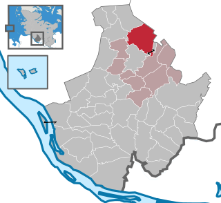
Lutzhorn is a small municipality, part of the district of Pinneberg, in Schleswig-Holstein, northern Germany. Three SubCommunities: Im Dorf, Krummendiek and Seis belong to Lutzhorn. Lutzhorn is part of the Amt Rantzau.

Elmshorn-Land is an Amt in the district of Pinneberg, in Schleswig-Holstein, Germany. It is situated around Elmshorn, which is the seat of the Amt, but not part of it.

Lütjenburg is an Amt in the district of Plön, in Schleswig-Holstein, Germany. It is situated around Lütjenburg, which is the seat of the Amt.

Großer Plöner See is an Amt in the districts of Plön and Ostholstein in Schleswig-Holstein, Germany. It is situated around Plön, which is the seat of the Amt, but not part of it. The Amt is named after the lake Großer Plöner See.

Probstei is an Amt in the district of Plön, in Schleswig-Holstein, Germany. It is situated around Schönberg, which is the seat of the Amt.

Osterrönfeld is a municipality in the district of Rendsburg-Eckernförde, in Schleswig-Holstein, Germany. It is situated on the Kiel Canal, approx. 2 km southeast of Rendsburg.

Bordesholm is an Amt in the district of Rendsburg-Eckernförde, in Schleswig-Holstein, Germany. It is situated around the village Bordesholm, which is the seat of the Amt. It was called Bordesholm-Land until 30 June 2007.
Itzehoe-Land is an Amt in the district of Steinburg, in Schleswig-Holstein, Germany. It is situated around Itzehoe, which is the seat of the Amt, but not part of it.
Nordstormarn is an Amt in the district of Stormarn, in Schleswig-Holstein, Germany. It is situated around Reinfeld, which is the seat of the Amt, but not part of it.
Bargteheide-Land is an Amt in the district of Stormarn, in Schleswig-Holstein, Germany. It is situated around Bargteheide, which is the seat of the Amt, but not part of it.

Amt Dänischer Wohld is an Amt in the district of Rendsburg-Eckernförde, in Schleswig-Holstein, Germany. It is situated between Eckernförde and Kiel, around the village Gettorf, which is the seat of the Amt, but not part of it. It is named after the Dänischer Wohld peninsula, of which the Amt only encompasses a central part.

Schashagen is a municipality in the district of Ostholstein, in Schleswig-Holstein, Germany.
The Imperial County of Rantzau was an immediate state of the Holy Roman Empire which lasted from 1650 to 1864. Its territory is more or less congruent with the present Amt Rantzau.

Rantzau is a municipality in the district of Plön, in Schleswig-Holstein, Germany.

Dägeling is a municipality in the district of Steinburg, in Schleswig-Holstein, Germany.

Travenbrück is a municipality in the district of Stormarn, in Schleswig-Holstein, Germany. The towns of Neverstaven, Nütschau, Schlamersdorf, Sühlen, Tralau and Vinzier are in the municipality.

The Sachsenwald is a forest near Hamburg, Germany. The forest derives its name, which can be translated as 'Saxon woods' or 'Saxony forest', from being located in the former Duchy of Saxe-Lauenburg, which itself is a part of the greater Lower Saxony region as defined by the former Duchy of Saxony. Today, the forest is an unincorporated area in the district of Herzogtum Lauenburg in Schleswig-Holstein. It is also a member of the amt Hohe Elbgeest, in which it has non-voting representation. The Sachsenwald has an area of 68 km2.


