Salt Pond Township, Saline County, Missouri

Last updated

Salt Pond Township is an inactive township in Saline County, in the U.S. state of Missouri. [1]

The two principle settlements in the township are Sweet Springs and Emma. Emma is on the border with Freedom Township in Lafayette County. [2] The principle waterway in the township is the Blackwater River, with its major tributary, Davis Creek. [3] The northernmost part of the Perry Memorial Conservation Area is located in Salt Pond Township.

Salt Pond Township was established on November 25, 1820 when Saline County was created, and it was named for the numerous brine springs in the area; but it was not formally organized until May 1834. [4] The first European settlement in the township was in 1817 by Edward Reavis who established his family and retainers about four miles north of present-day Sweet Springs, where he engaged in salt mining. [5]

Related Research Articles

<span class="mw-page-title-main">Saline County, Missouri</span> County in Missouri, United States

Saline County is a county located along the Missouri River in the U.S. state of Missouri. As of the 2020 census, the population was 23,333. Its county seat is Marshall. The county was established November 25, 1820, and named for the region's salt springs.

<span class="mw-page-title-main">Mercer County, Missouri</span> County in Missouri, United States

Mercer County is a county located in the northwestern portion of the U.S. state of Missouri. As of the 2020 census, the population was 3,538, making it the second-least populous county in Missouri. Its county seat is Princeton. The county was organized February 14, 1845, and named for General John F. Mercer of the Revolutionary War.

<span class="mw-page-title-main">Freedom Township, Michigan</span> Civil township in Michigan, United States

Freedom Township is a civil township of Washtenaw County in the U.S. state of Michigan. The population was 1,332 at the 2020 census.

<span class="mw-page-title-main">York Township, Michigan</span> Charter township in Michigan, United States

York Charter Township is a charter township of Washtenaw County in the U.S. state of Michigan. The population was 9,108 at the 2020 census.

<span class="mw-page-title-main">Blackwater Township, Cooper County, Missouri</span> Township in the U.S. state of Missouri

Blackwater Township is one of fourteen townships in Cooper County, Missouri, USA. As of the 2000 census, its population was 406.

<span class="mw-page-title-main">Boonville Township, Cooper County, Missouri</span> Township in the U.S. state of Missouri

Boonville Township is one of fourteen townships in Cooper County, Missouri, USA. As of the 2000 census, its population was 9,898.

<span class="mw-page-title-main">Lamine Township, Cooper County, Missouri</span> Township in the US state of Missouri

Lamine Township is one of 14 civil townships in Cooper County, in the U.S. state of Missouri. Twenty-two of Missouri's 114 counties, including Cooper County, have civil township governments. The other 92 counties have townships which are geographical but not governmental (civil). According to the 1860 Census, the population of Lamine Township was 830 . As of the 2020 Census, Lamine Township's population was 257.

<span class="mw-page-title-main">Otterville Township, Cooper County, Missouri</span> Township in the U.S. state of Missouri

Otterville Township is one of fourteen townships in Cooper County, Missouri, USA. As of the 2000 census, its population was 913.

<span class="mw-page-title-main">Pilot Grove Township, Cooper County, Missouri</span> Township in the U.S. state of Missouri

Pilot Grove Township is one of fourteen townships in Cooper County, Missouri, USA. As of the 2000 census, its population was 1,134.

<span class="mw-page-title-main">Saline Township, Cooper County, Missouri</span> Township in the U.S. state of Missouri

Saline Township is one of fourteen townships in Cooper County, Missouri, USA. As of the 2000 census, its population was 687.

<span class="mw-page-title-main">Deepwater Township, Bates County, Missouri</span> Township in the US state of Missouri

Deepwater Township is one of twenty-four townships in Bates County, Missouri, and is part of the Kansas City metropolitan area within the USA. As of the 2000 census, its population was 247.

<span class="mw-page-title-main">Hudson Township, Bates County, Missouri</span> Township in Missouri, United States

Hudson Township is one of twenty-four townships in Bates County, Missouri, and is part of the Kansas City metropolitan area within the USA. As of the 2000 census, its population was 229. As of the 2010 census, the town's population was 252. Its population was estimated to be 226 in 2018.

<span class="mw-page-title-main">Lone Oak Township, Bates County, Missouri</span> Township in the US state of Missouri

Lone Oak Township is one of twenty-four townships in Bates County, Missouri, and is part of the Kansas City metropolitan area within the USA. As of the 2000 census, its population was 293.

<span class="mw-page-title-main">Spruce Township, Bates County, Missouri</span> Township in Missouri, United States

Spruce Township is one of twenty-four townships in Bates County, Missouri, and is part of the Kansas City metropolitan area within the USA. As of the 2000 census, its population was 288.

La Saline is an abandoned village located in Beauvais Township in Sainte Genevieve County, Missouri, United States. La Saline is located approximately six miles south of Sainte Genevieve.

Salt Springs is an unincorporated community in Saline County, in the U.S. state of Missouri.

Blackwater Township is an inactive township in Saline County, in the U.S. state of Missouri.

Liberty Township is an inactive township in Saline County, in the U.S. state of Missouri.

Salt Fork Township is an inactive township in Saline County, in the U.S. state of Missouri.

McAllister Springs is an unincorporated community in Saline County, in the U.S. state of Missouri.

References

  1. U.S. Geological Survey Geographic Names Information System: Salt Pond Township, Saline County, Missouri
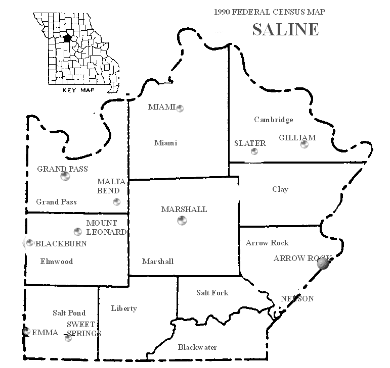
  2. "1990 Federal Census Map Saline". United States Census Bureau.
  3. Missouri Atlas & Gazetteer. Yarmouth, Maine: DeLorme. 2002. ISBN   0-89933-353-2.
  4. "Saline County Place Names, 1928–1945". The State Historical Society of Missouri. Archived from the original on June 24, 2016. (citing Jacob Van Dyke and Frank L. Ayres)
  5. Napton, William Barkley (1910). Past and present of Saline County, Missouri. Indianapolis, Indiana: B. F. Bowen & Company. p. 55.

38°59′00″N93°24′30″W / 38.98333°N 93.40833°W / 38.98333; -93.40833