Related Research Articles

Nayarit, officially the Estado Libre y Soberano de Nayarit, is one of the 31 states that, along with Mexico City, comprise the Federal Entities of Mexico. It is divided in 20 municipalities and its capital city is Tepic.

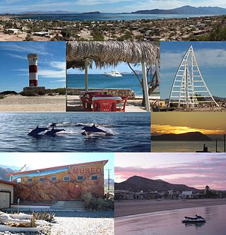
Bahía de los Ángeles is a coastal bay on the Gulf of California, located along the eastern shore of the Baja California Peninsula in the state of Baja California, Mexico. The town of the same name is located at the east end of Federal Highway 12 about 42 miles (68 km) from the Parador Punta Prieta junction on Federal Highway 1. The area is part of the San Quintín Municipality.

Juchitán de Zaragoza is an indigenous town in the southeast of the Mexican state of Oaxaca. It is part of the Juchitán District in the west of the Istmo de Tehuantepec region. With a 2020 census population of 88,280, it is the third-largest city in the state. The majority of the indigenous inhabitants are Zapotecs and Huaves. The town also serves as the municipal seat for the surrounding municipality, with which it shares a name. The municipality has an area of 414.64 km2 and a population of 113,570, the state's third-largest in population.

Juan Francisco de la Bodega y Quadra was a Spanish Criollo naval officer operating in the Americas. Assigned to the Pacific coast Spanish Naval Department base at San Blas, in Viceroyalty of New Spain, he explored the Northwest Coast of North America as far north as present day Alaska. Bodega Bay in California is named for him.

Los Cabos is a municipality located at the southern tip of Mexico's Baja California Peninsula, in the state of Baja California Sur. It encompasses the two towns of Cabo San Lucas and San José del Cabo linked by a thirty-two-km Resort Corridor of beach-front properties and championship golf courses.

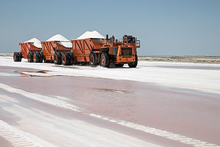
Guerrero Negro is the largest town located in the municipality of Mulegé in the Mexican state of Baja California Sur (BCS). It had a population of 13,596 in the 2020 census. The town is served by Guerrero Negro Airport.
Santa Rita is a municipality in the Honduran department of Copán.

Juan Manuel de Ayala y Aranza was a Spanish naval officer who played a significant role in the European exploration of California, as he and the crew of his ship the San Carlos were the first Europeans known to have entered the San Francisco Bay, having sailed there from the Port of San Blas, Nayarit, Mexico.

Federal Highway 1 is a free (libre) part of the federal highway corridors of Mexico, and the highway follows the length of the Baja California Peninsula from Tijuana, Baja California, in the north to Cabo San Lucas, Baja California Sur, in the south. The road connects with Via Rapida, which merges into the American Interstate 5 (I-5) at the San Ysidro Port of Entry, which crosses the international border south of San Ysidro, California.

The Sierra de la Laguna is a mountain range at the southern end of the Baja California peninsula in Mexico, and is the southernmost range of the Peninsular Ranges System.
Tres Alamos is a ghost town in Cochise County in the U.S. state of Arizona. The town was settled in 1874 in what was then the Arizona Territory.

El Pescadero is a small village in the municipality of La Paz in the Mexican state of Baja California Sur. It is located at km 64 on Federal Highway 19 on the Pacific Ocean about 8 kilometers South of Todos Santos which is about a one-hour drive north of Cabo San Lucas. The Mexican census of 2020 reported a population of 2,245 inhabitants.

Manuel Quimper Benítez del Pino was a Spanish Peruvian explorer, cartographer, naval officer, and colonial official. He participated in charting the Strait of Juan de Fuca and the Sandwich Islands in the late 18th century. He was later appointed a colonial governor in his native Peru at the beginning of the fight for independence there. He retired to Spain, but was able to return to Peru where he served as a naval officer in the new republic and pursued a literary career, publishing over 20 books about his experiences before his death there in Lima.

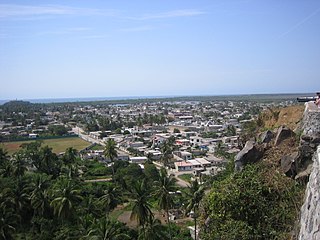
San Blas is both a municipality and municipal seat located on the Pacific coast of Mexico in Nayarit.

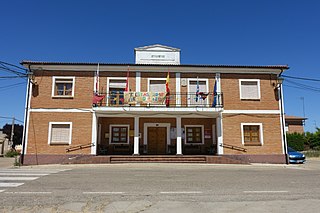
Vega de Ruiponce is a municipality located in the province of Valladolid, Castile and León, Spain. According to the 2004 census (INE), the municipality has a population of 129 inhabitants. Its economy is mainly focused on the primary sector, specifically livestock and agriculture.
Santo Tomás de los Plátanos also known as Nuevo Santo Tomás de los Plátanos is a town and municipal seat of the municipality of Santo Tomás, located in the center-west of Mexico State, in Mexico. It is approximately 185 km from Mexico City, and 107 km from Toluca.
"En el muelle de San Blas" is the fourth radio single and eighth track off of Maná's fifth studio album, Sueños Líquidos (1997). In the week of May 23, 1998, the song debuted and reached number eighteen on the U.S. Billboard Hot Latin Tracks. It stayed for a total of six weeks. The song was inspired by a woman in Nayarit, México, who waited for her fiancé to come back from a fishing trip; it was said he died in a storm, but his body was never found, so Rebeca Méndez Jiménez waited for him for 41 years (1971–2012). Méndez Jiménez died on 16 September 2012. The authorities of Nayarit are considering building a statue of her at the San Blas Port.
Little Belt National Forest was established as the Little Belt Forest Reserve by the U.S. Forest Service in Montana on October 3, 1905 with 583,600 acres (2,362 km2) after a name change from Little Belt Mountains Forest Reserve, which was established on August 16, 1902 with 501,000 acres (2,030 km2). It became a National Forest on March 4, 1907. On July 1, 1908 the entire forest was combined with Highwood Mountains, Snowy Mountains and Little Rockies National Forests to establish Jefferson National Forest and the name was discontinued. The lands are included in Lewis and Clark National Forest.

HMS Eclipse was a Royal Navy Cruizer-class brig-sloop built by John King at Dover and launched in 1807. She served off Portugal and then in the Indian Ocean at the capture of the Île de France. Shortly thereafter she captured Tamatave. She was sold for mercantile service in 1815. She traded with India until 1823. Then between 1823 and 1845 she made seven voyages as a whaler.

HMS Conway was a Royal Navy sixth-rate post ship launched in 1814 as the lead ship of her class. The Royal Navy sold her in 1825 and she became the merchantman Toward Castle, and then a whaler. She was lost in 1838 off Baja California while well into her third whaling voyage.
References
- ↑ "CUMPLE AGÚNDEZ COMPROMISOS CONTRAÍDOS CON ALUMNOS DEL CETMAR Y ESTUDIANTES DE LA COMUNIDAD DE SAN BLAS" . Retrieved 28 February 2008.[ dead link ]
- ↑ Quintanar Hinojosa, Beatriz (February 2008). "Breves". Guía México Desconocido: Oaxaca. 372: 8. Archived from the original on 14 October 2008. Retrieved 14 November 2008.
Mapper 2.0 23°52′0″N110°8′47″W / 23.86667°N 110.14639°W