
Bacanora is an agave-derived liquor made in the Mexican state of Sonora.
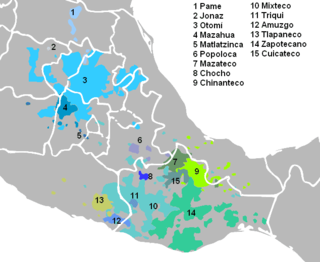
Amuzgo is an Oto-Manguean language spoken in the Costa Chica region of the Mexican states of Guerrero and Oaxaca by about 44,000 speakers. Like other Oto-Manguean languages, Amuzgo is a tonal language. From syntactical point of view Amuzgo can be considered as an active language. The name Amuzgo is claimed to be a Nahuatl exonym but its meaning is shrouded in controversy; multiple proposals have been made, including 'moss-in'.
Arivechi is a town in Arivechi Municipality in the Mexican state of Sonora.
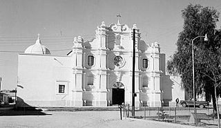
Bacanora is a small town in Bacanora Municipality in the east of the Mexican state of Sonora. It is located at the geographical coordinates of 28°59′N109°24′W.
Sahuaripa is a town in the Mexican state of Sonora, municipality of Sahuaripa. The area is 5,694.4 km². with a population of 5,792 in 2005. The town and municipal seat had a population of 3,807 in 2000.
Moctezuma is a municipio (municipality) of the Mexican state of Sonora, located in the state's central region. It is also the name of its largest settlement and cabecera municipal.
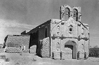
Oquitoa is a small town surrounded by Oquitoa Municipality in the northwest of the Mexican state of Sonora.

Pitiquito is a small town in Pitiquito Municipality in the northwest of the Mexican state of Sonora.
Tepache is a small town in Tepache Municipality in the east of the Mexican state of Sonora. Its location by GPS coordinates is at: Longitude (dec): -109.528889; Latitude (dec): 29.533333.
San Javier is a town in San Javier Municipality, in the Mexican state of Sonora. The elevation is 650 meters.

Villa Hidalgo Municipality is a municipality, in the north-east of the Mexican state of Sonora.
Navojoa Municipality is a municipality in the Mexican state of Sonora in north-western Mexico. As of 2015, the municipality had a total population of 163,650.

San Javier Municipality is a municipality in the Mexican state of Sonora in north-western Mexico. As of 2015, the municipality had a total population of 557.
San Pedro de la Cueva Municipality is a municipality in the Mexican state of Sonora in north-western Mexico.
Soyopa Municipality is a municipality in the Mexican state of Sonora in north-western Mexico.
Tepache Municipality is a municipality in the Mexican state of Sonora in north-western Mexico.
La Cueva is the Spanish word for "cave" and is also used in the surname "de la Cueva". It can also refer to:
The following television stations broadcast on digital channel 14 in Mexico:
Whitewater Draw, originally Rio de Agua Prieta, [Spanish: river of dark water], is a tributary stream of the Rio de Agua Prieta in Cochise County, Arizona. It was called Blackwater Creek by Philip St. George Cooke when his command, the Mormon Battalion, camped at a spring on its course on December 5, 1846.
This page is based on this
Wikipedia article Text is available under the
CC BY-SA 4.0 license; additional terms may apply.
Images, videos and audio are available under their respective licenses.