Sandberg, Bavaria | ||
---|---|---|
| ||
Coordinates: 50°21′N10°0′E / 50.350°N 10.000°E Coordinates: 50°21′N10°0′E / 50.350°N 10.000°E | ||
Country | Germany | |
State | Bavaria | |
Admin. region | Unterfranken | |
District | Rhön-Grabfeld | |
Government | ||
• Mayor | Detlef Beinhauer (CSU) | |
Area | ||
• Total | 28.04 km2 (10.83 sq mi) | |
Elevation | 452-542 m (−1,330 ft) | |
Population (2016-12-31) [1] | ||
• Total | 2,462 | |
• Density | 88/km2 (230/sq mi) | |
Time zone | CET/CEST (UTC+1/+2) | |
Postal codes | 97657 | |
Dialling codes | 09701 | |
Vehicle registration | NES | |
Website | www.sandberg-rhoen.de |
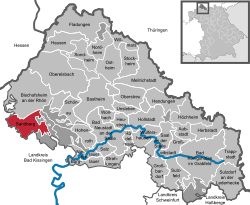
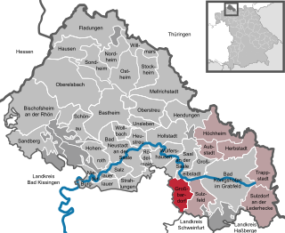
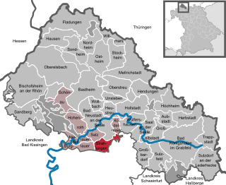
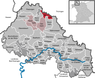
Sandberg is a municipality in the district of Rhön-Grabfeld in Bavaria in Germany.
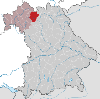
Rhön-Grabfeld is a Landkreis (district) in Bavaria, Germany. It is bounded by the districts of Hassberge, Schweinfurt and Bad Kissingen, and the states of Hesse and Thuringia.
Bavaria, officially the Free State of Bavaria, is a landlocked federal state of Germany, occupying its southeastern corner. With an area of 70,550.19 square kilometres, Bavaria is the largest German state by land area. Its territory comprises roughly a fifth of the total land area of Germany. With 13 million inhabitants, it is Germany's second-most-populous state after North Rhine-Westphalia. Bavaria's capital and largest city, Munich, is the third-largest city in Germany.
Germany, officially the Federal Republic of Germany, is a country in Central and Western Europe, lying between the Baltic and North Seas to the north, and the Alps to the south. It borders Denmark to the north, Poland and the Czech Republic to the east, Austria and Switzerland to the south, France to the southwest, and Luxembourg, Belgium and the Netherlands to the west.
Sandberg lies within the Main-Rhön regional planning region.
Sandberg is divided into nine municipal subdivisions or villages: [2]
|
Wikimedia Commons has media related to Sandberg (Lower Franconia) . |
Bad Kissingen is a Landkreis (district) in Bavaria, Germany. It is bounded by the district Main-Kinzig and Fulda in Hesse, and the districts of Rhön-Grabfeld, Schweinfurt and Main-Spessart.
Haßberge is a Landkreis (district) in Bavaria, Germany. It is bounded by the districts of Coburg, Bamberg, Schweinfurt and Rhön-Grabfeld, and by the state of Thuringia.
Schweinfurt is a Landkreis (district) in the northwestern part of Bavaria, Germany. Neighboring districts are Bad Kissingen, Rhön-Grabfeld, Haßberge, Bamberg, Kitzingen, Würzburg and Main-Spessart. The district-free city Schweinfurt is surrounded by the district.
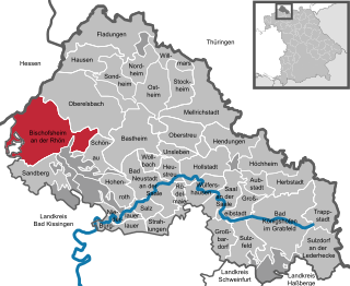
Bischofsheim an der Rhön is a town in the district Rhön-Grabfeld, in Bavaria, Germany. It is situated in the Rhön Mountains, 29 km southeast of Fulda.
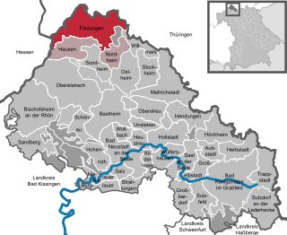
Fladungen is a town in the Rhön-Grabfeld district, in Bavaria, Germany. It is situated in the Rhön Mountains, 11 km northwest of Ostheim, 20 km west of Meiningen, and 33 km east of Fulda. It is the northernmost town in Bavaria, bordering Hesse to the northwest and Thuringia to the northeast.
Großbardorf is a municipality in the district of Rhön-Grabfeld in Bavaria in Germany.
Hausen is a municipality in the district of Rhön-Grabfeld in Bavaria in Germany.
Hohenroth is a municipality in the district of Rhön-Grabfeld in Bavaria in Germany.
Hollstadt is a municipality in the district of Rhön-Grabfeld in Bavaria in Germany.
Niederlauer is a municipality in the district of Rhön-Grabfeld in Bavaria in Germany.
Nordheim vor der Rhön is a municipality in the district of Rhön-Grabfeld in Bavaria in Germany. It is located in the upper Streu valley, between Ostheim and Fladungen.
Oberelsbach is a municipality in the district of Rhön-Grabfeld in Bavaria in Germany.
Rödelmaier is a municipality in the district of Rhön-Grabfeld in Bavaria in Germany.
Salz is a municipality in the district of Rhön-Grabfeld in Bavaria in Germany.
Sandberg may refer to:
Strahlungen is a municipality in the district of Rhön-Grabfeld in Bavaria in Germany.
Willmars is a municipality in the district of Rhön-Grabfeld in Bavaria in Germany.
The Bavarian Rhön Nature Park straddles the junction of the German states of Bavaria, Hesse and Thuringia. 70 km² of the total 125 km² area of the nature park has been recognised by UNESCO as part of the Rhön Biosphere Reserve.
The organisation for the promotion of the Bavarian Rhön Nature Park was founded in 1967. On 26 November 1982 the regulation for the Naturpark Bayerische Rhön was issued and, in 1997, the Zweckverband became the Society for the Bavarian Rhön Nature Park and Biosphere Reserve.
The Rhön Biosphere Reserve includes the entire central area of the Rhön Mountains, a low mountain range in the German states of Hesse, Bavaria and Thuringia.
This Rhön-Grabfeld location article is a stub. You can help Wikipedia by expanding it. |