Santa Clara, Gabon

Last updated
Santa Clara, Gabon
Gabon location map.svg
Red pog.svg
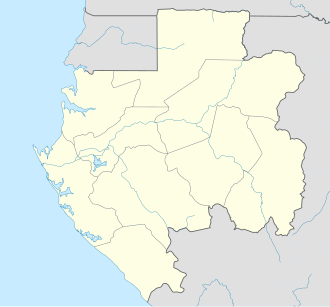
Santa Clara, Gabon
Location in Gabon
Coordinates: 0°30′20.6″N9°19′06.53″E / 0.505722°N 9.3184806°E / 0.505722; 9.3184806
CountryFlag of Gabon.svg Gabon
Province Estuaire Province
Elevation
948 ft (289 m)

Cape Santa Clara, Gabon is a peninsula extending from the Gabon Estuary near the port of Owendo.

Contents

Overview

The larger peninsula that separates the Gabon estuary from Corisco Bay, the cape juts into the mouth of the estuary. [1]

The cape is near Libreville, the capital city of Gabon [2]

The Santa Clara Rock Formation is also visible. [3]

Transport

Cape Santa Clara is the proposed site for a new port for the export of iron ore from Belinga. [4]

Photos

See also

References

  1. Santa-Clara (cape, Gabon) - Britannica Online Encyclopedia
  2. "Libreville".
  3. Rochers de Santa Clara/Santa Clara Rock Formation.
  4. "China given monopoly to work Gabon's untapped iron ore resources".
  5. "Gabon Photos from TrekLens".
  6. "Gabon Estuary - Britannica Concise". Archived from the original on 2006-06-21. Retrieved 2007-11-09.