Related Research Articles

Jackson County is one of the 36 counties in the U.S. state of Oregon. As of the 2020 census, the population was 223,259. The county seat is Medford. The county is named for Andrew Jackson, the seventh president of the United States.

Somerset Township is a civil township of Hillsdale County in the U.S. state of Michigan. The population was 4,532 at the 2020 census.

Geneva Township is a civil township of Van Buren County in the U.S. state of Michigan. The population was 3,416 at the 2020 United States Census.

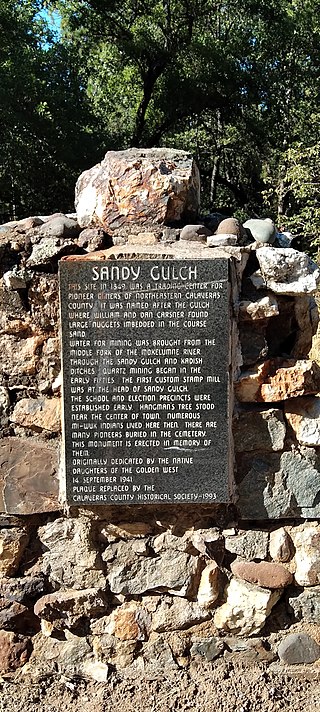
Sandy Gulch is a small community in Calaveras County, California, just southwest of West Point on State Route 26. It lies at an elevation of 2592 feet above sea level and is located at 38°22′49″N120°31′58″W. The community is in ZIP code 95248 and area code 209.
Elma High School is a public secondary institution located in Elma, Washington located about 30 miles west of Olympia; the capital city of Washington. Elma High School serves the rural communities of McCleary, Elma and Satsop. Elma is located between Olympia and Aberdeen allowing a wider choice of colleges to attend to for Running Start.

Whitethorn is an unincorporated community in Humboldt County, California, United States. It is located 9.5 miles southwest of Garberville, at an elevation of 1,024 feet, with a population of 817. Whitethorn shares a ZIP Code, 95589, with Shelter Cove, California. It is located along California's Lost Coast.

Rosewood is an unincorporated community in Humboldt County, California. It is located 1 mi (1.6 km) south of Eureka, at an elevation of 131 feet.
McNalls, or McNalls Corners, is a hamlet in the town of Royalton in Niagara County, New York, United States.

Schooner Gulch State Beach is a public beach located in Mendocino County, California. It is located approximately 50 miles northwest of Santa Rosa. The park is famous for Bowling Ball Beach, where visitors can view natural spherical sandstone concretions at low tide. The beach offers a scenic spot along the Mendocino coast and a stunning place for watching sunsets. Visitors to the beach come to surf, fish, and picnic. Hiking is also a very popular activity at this beach, and there are multiple trails along the coast.
Sturgeon River is a 63.6-mile-long (102.4 km) river in the U.S. state of Michigan, flowing mostly southward through Alger County and Delta County counties on the Upper Peninsula.
Democrat Gulch [elevation: 1,470 feet (450 m)] is a ridge in Josephine County, Oregon, in the United States.
Rumley is an unincorporated community in Shelby County, in the U.S. state of Ohio.
New Floodwood is an unincorporated community in Athens County, in the U.S. state of Ohio.
Mathis is an unincorporated community in Dallas County, in the U.S. state of Missouri.
Colvig Gulch is a valley in the U.S. state of Oregon.
Kanaka Gulch is a valley in the U.S. state of Oregon.
Neathammer Gulch is a valley in the U.S. state of Oregon.
Peck Gulch is a valley in the U.S. state of Oregon.
Spanish Gulch is a valley in the U.S. state of Oregon.
Stein Gulch is a valley in the U.S. state of Oregon.
References
- ↑ U.S. Geological Survey Geographic Names Information System: Schieffelin Gulch
- ↑ "Jackson County Place Names Database". Jackson County Genealogy Library. Archived from the original on 4 October 2018. Retrieved 29 May 2019.
42°24′49″N123°09′56″W / 42.41361°N 123.16556°W