Related Research Articles
Shire is a traditional term for an administrative division of land in Great Britain and some other English-speaking countries such as Australia and the United States. It is generally synonymous with county. It was first used in Wessex from the beginning of Anglo-Saxon settlement, and spread to most of the rest of England in the tenth century. In some rural parts of Australia, a shire is a local government area; however, in Australia it is not synonymous with a "county", which is a lands administrative division.

A glen is a valley, typically one that is long and bounded by gently sloped concave sides, unlike a ravine, which is deep and bounded by steep slopes. The word is Goidelic in origin: gleann in Irish and Scottish Gaelic, glion in Manx. The designation "glen" also occurs often in place names. Glens are appreciated by tourists for their tranquility and scenery.

East Lothian is one of the 32 council areas of Scotland, as well as a historic county, registration county and lieutenancy area. The county was called Haddingtonshire until 1921.

Midlothian is a historic county, registration county, lieutenancy area and one of 32 council areas of Scotland used for local government. Midlothian lies in the east-central Lowlands, bordering the City of Edinburgh council area, East Lothian and the Scottish Borders.

Lothian is a region of the Scottish Lowlands, lying between the southern shore of the Firth of Forth and the Lammermuir Hills and the Moorfoot Hills. The principal settlement is the Scottish capital, Edinburgh, while other significant towns include Livingston, Linlithgow, Bathgate, Queensferry, Dalkeith, Bonnyrigg, Penicuik, Musselburgh, Prestonpans, Tranent, North Berwick, Dunbar, Whitburn and Haddington.

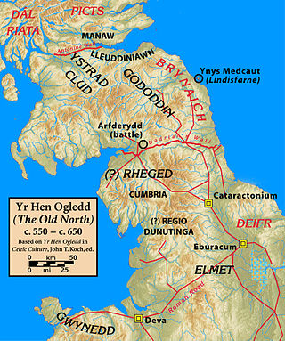
Bernicia was an Anglo-Saxon kingdom established by Anglian settlers of the 6th century in what is now southeastern Scotland and North East England.

The West Lothian question, also known as the English question, is a political issue in the United Kingdom. It concerns the question of whether members of Parliament (MPs) from Northern Ireland, Scotland and Wales who sit in the House of Commons should be able to vote on matters that affect only England, while neither they nor MPs from England are able to vote on matters that have been devolved to the Northern Ireland Assembly, the Scottish Parliament and the Senedd. The term West Lothian question was coined by Enoch Powell MP in 1977 after Tam Dalyell, the Labour MP for the Scottish constituency of West Lothian, raised the matter repeatedly in House of Commons debates on devolution.

The historic counties of England are areas that were established for administration by the Normans, in many cases based on earlier kingdoms and shires created by the Angles, Saxons, Jutes, Celts and others. They are alternatively known as ancient counties, traditional counties, former counties or simply as counties. In the centuries that followed their establishment, as well as their administrative function, the counties also helped define local culture and identity. This role continued even after the counties ceased to be used for administration after the creation of administrative counties in 1889, which were themselves amended by further local government reforms in the years following.

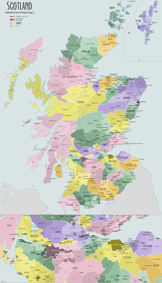
The shires of Scotland, or counties of Scotland, are historic subdivisions of Scotland established in the Middle Ages and used as administrative divisions until 1975. Originally established for judicial purposes, from the 17th century they started to be used for local administration purposes as well. The areas used for judicial functions (sheriffdoms) came to diverge from the shires, which ceased to be used for local government purposes after 1975 under the Local Government (Scotland) Act 1973.

Berwickshire is a historic county, registration county and lieutenancy area in south-eastern Scotland, on the English border. The county takes its name from Berwick-upon-Tweed, its original county town, which was part of Scotland at the time of the county's formation in the twelfth century, but became part of England in 1482 after several centuries of swapping back and forth between the two kingdoms. After the loss of Berwick, Duns and Greenlaw both served as county town at different periods.

The Kingdom of England was a sovereign state on the island of Great Britain from the early 10th century, when it emerged from various Anglo-Saxon kingdoms, until May 1, 1707, when it united with Scotland to form the Kingdom of Great Britain, which would later become the United Kingdom. The Kingdom of England was among the most powerful states in Europe during the medieval and early modern colonial periods.

The Lowlands is a cultural and historical region of Scotland.

A dun is an ancient or medieval fort. In Ireland and Britain it is mainly a kind of hillfort and also a kind of Atlantic roundhouse.
Ross and Cromarty was a county constituency of the House of Commons of the UK Parliament from 1832 to 1983. It elected one Member of Parliament (MP) using the first-past-the-post voting system.
The counties of the United Kingdom are subnational divisions of the United Kingdom, used for the purposes of administrative, geographical and political demarcation. The older term, shire is historically equivalent to county. By the Middle Ages, county had become established as the unit of local government, at least in England. By the early 17th century, all of England, Wales, Scotland, and Ireland had been separated into counties. In Scotland shire was the only term used until after the Act of Union 1707.

The Kingdom of Alba was the Kingdom of Scotland between the deaths of Donald II in 900 and of Alexander III in 1286. The latter's death led indirectly to an invasion of Scotland by Edward I of England in 1296 and the First War of Scottish Independence.

The History of local government in Scotland is a complex tale of largely ancient and long established Scottish political units being replaced after the mid 20th century by a frequently changing series of different local government arrangements.

Chorography is the art of describing or mapping a region or district, and by extension such a description or map. This term derives from the writings of the ancient geographer Pomponius Mela and Ptolemy, where it meant the geographical description of regions. However, its resonances of meaning have varied at different times. Richard Helgerson states that "chorography defines itself by opposition to chronicle. It is the genre devoted to place, and chronicle is the genre devoted to time". Darrell Rohl prefers a broad definition of "the representation of space or place".
Gowler is an English language surname with its origins in Old English.

The geography of Scotland in the Middle Ages covers all aspects of the land that is now Scotland, including physical and human, between the departure of the Romans in the early fifth century from what are now the southern borders of the country, to the adoption of the major aspects of the Renaissance in the early sixteenth century. Scotland was defined by its physical geography, with its long coastline of inlets, islands and inland lochs, high proportion of land over 60 metres above sea level and heavy rainfall. It is divided between the Highlands and Islands and Lowland regions, which were subdivided by geological features including fault lines, mountains, hills, bogs and marshes. This made communications by land problematic and raised difficulties for political unification, but also for invading armies.
References
- ↑ The Scottish World: History and Culture of Scotland;p.168; by Harold Orel, Marilyn Stokstad, Henry Leonard Snyder, Published 1981 Abrams; ISBN 0-8109-1630-4
- ↑ Old Men in Love: John Tunnock's Posthumous Papers; p.146; By Alasdair Gray; Published 2007 Bloomsbury; ISBN 0-7475-9353-1
- 1 2 Scotland's Relations with England: A Survey to 1707; p.243; By William Ferguson; Published 1994 Saltire Society; ISBN 0-85411-058-5