
Niederanven is a commune Luxembourg, located north-east of Luxembourg City, and derives its name from principal town, Niederanven. As of 2023, it has a population of 6,660.

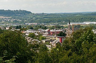
Echternach is a commune with town status in the canton of Echternach, which is part of the district of Grevenmacher, in eastern Luxembourg. Echternach lies near the border with Germany, and is the oldest town in Luxembourg.
The District of Grevenmacher was one of three districts of Luxembourg. It contained three cantons divided into 25 communes:
- Echternach
- Grevenmacher
- Remich

Wasserbillig is a town in the commune of Mertert, in eastern Luxembourg. As of 2024, Wasserbillig has 3,485 inhabitants, which makes it the largest town in Mertert. Wasserbillig is the administrative seat of the commune of Mertert.
The 12 cantons of the Grand Duchy of Luxembourg are subdivisions at the first level of local administrative unit (LAU-1) in the European Union's Nomenclature of Territorial Units for Statistics for Eurostat purposes. They were subdivisions of the three districts of Luxembourg until 2015, when the district level of government was abolished. The cantons are in turn subdivided into 100 communes.
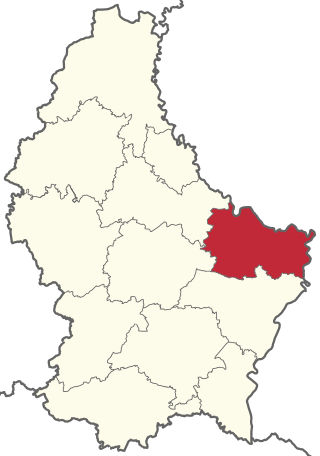
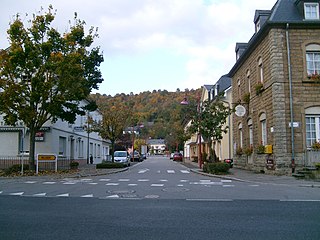
Echternach is a canton in the east of Luxembourg. Its capital is Echternach.
Bech is a commune and small town in eastern Luxembourg. It is part of the canton of Echternach, which until 2015 was part of the district of Grevenmacher.
Berdorf is a commune and small town in eastern Luxembourg. It is part of the canton of Echternach, which is part of the district of Grevenmacher. Berdorf is known for the sandstone rocks surrounding it.

Consdorf is a commune and town in eastern Luxembourg. It is part of the canton of Echternach, which is part of the district of Grevenmacher.

Waldbillig is a commune and small town in the canton of Echternach, Luxembourg.

Little Switzerland is a nickname for a region in the east of Luxembourg, bestowed upon the region on account of its reputed geographical similarities to Switzerland. It is roughly contiguous with the canton of Echternach. It is also known as the Mullerthal after the town of Mullerthal.

Howald is a town in the commune of Hesperange, in southern Luxembourg. The town merges almost seamlessly with Luxembourg City's south-eastern suburban quarter of South Bonnevoie, which lies to the north of Howald. As of 2024, the town has a population of 5,815, making it the most populous town in the commune and the 22nd-most populous in Luxembourg.
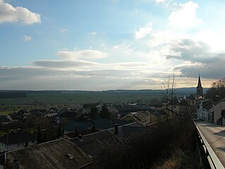
Gilsdorf is a small town in the commune of Bettendorf, in north-eastern Luxembourg. As of 2024, the town has a population of 1,145.
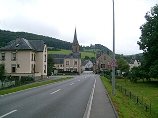
Born is a village on the River Sauer in the commune of Mompach, in eastern Luxembourg. It lies on the N10, 14 km (9 mi) south of Echternach and 8 km (5 mi) north of Wasserbillig. Only a 5 minute drive from the E44 motorway from Luxembourg City to Trier, it is popular with tourists and day-trippers who walk, cycle or fish along the banks of the river.
Superscript text

Kockelscheuer is a small town in the commune of Roeser, in southern Luxembourg. As of 2024, the town has a population of 284. The Fortis Championships Luxembourg are held at the Kockelscheuer Sport Centre, just to the north of the town. The 2014 IIHF World Championship Division III were held at the Kockelscheuer Ice Rink in April 2014. Each year Kockelscheuer held sponsored by BGL a tennis tournament, part of WTA.

Roodt-sur-Syre or Roodt-sur-Syr is a town in the commune of Betzdorf, in eastern Luxembourg, and about 15 km from Luxembourg City. As of 2024, the town has a population of 2,017 inhabitants.
Itzig is a town in the commune of Hesperange, in southern Luxembourg. As of 2024, the town has a population of 2,414.
Munsbach is a small town in the commune of Schuttrange, in eastern region of Luxembourg. As of 2024, the town has a population of 762. The Baroque style Munsbach Castle from 1775 is home to the Institut Universitaire International Luxembourg which provides educational courses in business, European law and public sector management.
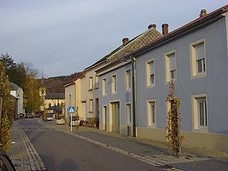
Wallendorf-Pont is a village in the commune of Reisdorf, in eastern Luxembourg. As of 2024, the town has a population of 268.
