Shahpur, Shapur, Shahpoor, or Shahapur may refer to:

Padera, also spelled Pandera, is a village in Harchandpur block of Raebareli district, Uttar Pradesh, India. As of 2011, its population is 3,034, in 564 households. It has one primary school and no healthcare facilities.

Chinahat is a block in Lucknow City, Uttar Pradesh, India. According to 2011 Census of India the population of the village is 137,251 out of whom 71,211 are males and 66,040 are females. The village code is 0297. Lucknow serves as the block headquarters. The block is part of two tehsils, with some parts belonging to Lucknow tehsil and other parts belonging to Bakshi Ka Talab tehsil.
Juggaur or Jugor is a village in Chinhat block, Lucknow district, Uttar Pradesh, India. As of the 2011 Census of India, the population of the village is 9,478, in 1,590 households. The village code is 0297. It is part of Lucknow tehsil. It is the seat of a gram panchayat.
Papnamau is a village in Chinhat block of Lucknow district, Uttar Pradesh, India. It is part of Lucknow tehsil. As of 2011, its population is 2,363, in 431 households. It is the seat of a gram panchayat.
Lolai, also spelled Laulai, is a village in Chinhat block of Lucknow district, Uttar Pradesh, India. It is part of Lucknow tehsil. As of 2011, its population is 3,255, in 578 households. It is the seat of a gram panchayat.
Semra, also spelled Simra, is a village in Chinhat block of Lucknow district, Uttar Pradesh, India. It is part of Lucknow tehsil. As of 2011, its population is 1,816, in 359 households. It is the seat of a gram panchayat.
Bharwara is a village in Chinhat block of Lucknow district, Uttar Pradesh, India. It is part of Lucknow tehsil. As of 2011, its population is 3,876, in 678 households.
Aramba is a village in Bakshi Ka Talab block of Lucknow district, Uttar Pradesh, India. As of 2011, its population is 2,459, in 484 households. It is the seat of a gram panchayat.
Muazzamnagar is a village in Gosainganj block of Lucknow district, Uttar Pradesh, India. As of 2011, its population is 753, in 139 households. It is part of the gram panchayat of Kabirpur.

Bathua Shahpur is a village in Hilauli block of Unnao district, Uttar Pradesh, India. As of 2011, its population is 590, in 116 households, and it has no schools and no healthcare facilities.

Simarpaha is a village in Lalganj block of Rae Bareli district, Uttar Pradesh, India. It is located 3 km southwest of Lalganj on the road to Ralpur on the Ganges. In addition to the main site, the village also includes several dispersed hamlets. Simarpaha was historically the seat of a taluqdari estate held by a branch of the Bais Rajputs. As of 2011, it has a population of 8,391 people, in 1,501 households. It has two primary schools and no healthcare facilities.

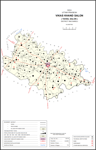
Sonbarsa is a village in Salon block of Rae Bareli district, Uttar Pradesh, India. It is located 36 km from Raebareli, the district headquarters. As of 2011, Sonbarsa has a population of 1,041 people, in 181 households. It has one primary school and no healthcare facilities.

Matka is a village in Salon block of Rae Bareli district, Uttar Pradesh, India. It is located 35 km from Raebareli, the district headquarters. As of 2011, Matka has a population of 3,479 people, in 655 households. It has one primary school and no healthcare facilities.

Harkishanpur Tikra is a village in Salon block of Rae Bareli district, Uttar Pradesh, India. It is located 32 km from Raebareli, the district headquarters. As of 2011, Harkishanpur Tikra has a population of 423 people, in 76 households. It has no schools and no healthcare facilities.

Ghurhat is a village in Salon block of Rae Bareli district, Uttar Pradesh, India. It is located 37 km from Raebareli, the district headquarters. As of 2011, Ghurhat has a population of 693 people, in 115 households. It has one primary school and no healthcare facilities.

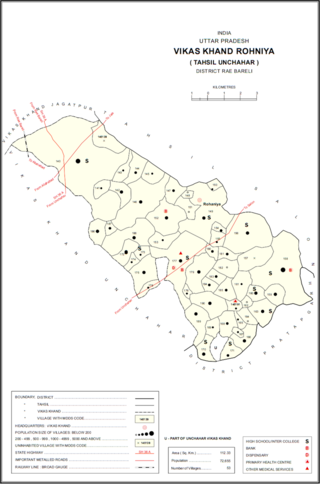
Bachhaiyapur is a village in Rohaniya block of Rae Bareli district, Uttar Pradesh, India. It is located 48 km from Raebareli, the district headquarters. As of 2011, it has a population of 505 people, in 100 households. It has two primary schools and no healthcare facilities, and it does not host a permanent market or a weekly haat.

Parsipur is a village in Rohaniya block of Rae Bareli district, Uttar Pradesh, India. It is located 40 km from Raebareli, the district headquarters. As of 2011, it has a population of 552 people, in 119 households. It hosts a weekly haat but not a permanent market.

Shahpur is a village in Lalganj block of Rae Bareli district, Uttar Pradesh, India. It is located 8 km from Lalganj, the block and tehsil headquarters. As of 2011, it has a population of 689 people, in 126 households. It has 1 primary school and no healthcare facilities, and it hosts both a permanent market and a weekly haat. It belongs to the nyaya panchayat of Behta Kalan.

Bhawanshahpur is a village in Gauriganj block of Amethi district, Uttar Pradesh, India. As of 2011, it has a population of 821 people, in 154 households. It has no schools and no healthcare facilities and does not host a permanent market or weekly haat. It belongs to the nyaya panchayat of Semuai.


