This article does not cite any sources .(October 2012) (Learn how and when to remove this template message) |
| Sikátor | ||
|---|---|---|
| ||
 Sikátor Location of Sikátor | ||
| Coordinates: 47°26′10″N17°51′07″E / 47.43618°N 17.85199°E Coordinates: 47°26′10″N17°51′07″E / 47.43618°N 17.85199°E | ||
| Country | ||
| County | Győr-Moson-Sopron | |
| Area | ||
| • Total | 13.74 km2 (5.31 sq mi) | |
| Population (2010) | ||
| • Total | 298 | |
| • Density | 22/km2 (56/sq mi) | |
| Time zone | CET (UTC+1) | |
| • Summer (DST) | CEST (UTC+2) | |
| Postal code | 8439 | |
| Area code(s) | 88 | |

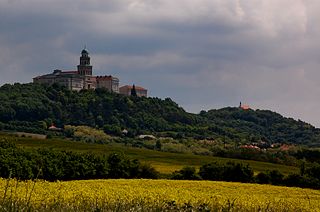
Sikátor is a village in Győr-Moson-Sopron County, Hungary.
Győr-Moson-Sopron is an administrative county in north-western Hungary, on the border with Slovakia and Austria (Burgenland). It shares borders with the Hungarian counties Komárom-Esztergom, Veszprém and Vas. The capital of Győr-Moson-Sopron county is Győr. The county is a part of the Centrope Project.

Hungary is a country in Central Europe. Spanning 93,030 square kilometres (35,920 sq mi) in the Carpathian Basin, it borders Slovakia to the north, Ukraine to the northeast, Austria to the northwest, Romania to the east, Serbia to the south, Croatia to the southwest, and Slovenia to the west. With about 10 million inhabitants, Hungary is a medium-sized member state of the European Union. The official language is Hungarian, which is the most widely spoken Uralic language in the world. Hungary's capital and its largest city and metropolis is Budapest. Other major urban areas include Debrecen, Szeged, Miskolc, Pécs and Győr.