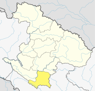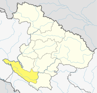
Salyan District, a part of Karnali province, is one of the seventy-seven districts of Nepal. Salyan covers an area of 1,462 km2 (564 sq mi) with a population of 213,500 in 2001 and 241,716 in 2011. The district's administrative center is named Salyan or Salyan Khalanga, today it is part of Shaarada Municipality.

Surkhet District a part of Karnali province, is one of the ten districts of Karnali located about 600 kilometres (373 mi) west of the national capital Kathmandu. The district's area is 2,488.64 square kilometres (960.87 sq mi)which is longest in Nepal. It had 288,527 population in 2001 and 350,804 in 2011 which male comprised 169,461 and female 181,381. It is the district headquarters of surkhet and commercial hub of the Karnali state of the new federal republic.
Salyan is a village development committee in Baglung District in the Dhaulagiri Zone of central Nepal. At the time of the 1991 Nepal census it had a population of 1,935 and had 396 houses in the village.
Ghitung is a village and Village Development Committee in Khotang District in the Sagarmatha Zone of eastern Nepal. At the time of the 1991 Nepal census it had a population of 2,515 persons living in 482 individual households.
Chande is a village development committee in Salyan District in the Rapti Zone of western-central Nepal. At the time of the 1991 Nepal census it had a population of 4096 people living in 620 individual households.
Dandagaun, Rapti is market center in Sharada Municipality in Salyan District in the Rapti Zone of western-central Nepal. The place formerly existing as Village Development Committee was annexed to form a new municipality since 18 May 2014. At the time of the 1991 Nepal census it had a population of 4198 people living in 740 individual households.
Devasthal is a village development committee in Salyan District in the Rapti Zone of western-central Nepal. At the time of the 1991 Nepal census it had a population of 2940 people living in 496 individual households.
Dhagari Pipal is a village development committee in Salyan District in the Rapti Zone of western-central Nepal. At the time of the 1991 Nepal census it had a population of 3834 people living in 668 individual households.
Jhimpe is a village development committee in Salyan District in the Rapti Zone of western-central Nepal. At the time of the 1991 Nepal census it had a population of 5727 people living in 908 individual households.

Kalimati Rampur is a village development committee in Salyan District in the Rapti Zone of western-central Nepal. At the time of the 1991 Nepal census it had a population of 2635.
Korbang Jhimpe is a village development committee in Salyan District in the Rapti Zone of western-central Nepal. At the time of the 2001 Nepal census it had a population of 636. According to the 2011 Nepal census Korbang Jhimpe had a population of 6,183.
Kotmala is a village development committee in Salyan District in the Rapti Zone of western-central Nepal. At the time of the 1991 Nepal census it had a population of 3735 people living in 649 individual households.
Marmaparikhanda is a village development committee in Salyan District in the Rapti Zone of western-central Nepal. At the time of the 1991 Nepal census it had a population of 3530 people living in 597 individual households.

Mulkhola is a village development committee in Salyan District in the Rapti Zone of western-central Nepal. At the time of the 1991 Nepal census it had a population of 4076 people living in 674 individual households.
Pipal Neta is a village development committee in Salyan District in the Rapti Zone of western-central Nepal. At the time of the 1991 Nepal census it had a population of 1780 people living in 315 individual households.

Rim, Nepal is a village development committee in Salyan District in the Rapti Zone of western-central Nepal. At the time of the 1991 Nepal census it had a population of 3120 people living in 570 individual households.
Sibaratha is a village development committee in Salyan District in the Rapti Zone of western-central Nepal. At the time of the 1991 Nepal census it had a population of 4372 people living in 749 individual households.
Siddheswar is a village development committee in Salyan District in the Rapti Zone of western-central Nepal. At the time of the 1991 Nepal census it had a population of 3715 people living in 604 individual households.
Gharti Gaun is a village development committee in Rolpa District in the Rapti Zone of north-eastern Nepal. At the time of the 1991 Nepal census it had a population of 4105 people living in 734 individual households.
Kapurkot is a rural municipality located in Salyan District of Karnali province of Nepal.


