
Sud-Est (French) or Sidès is one of the ten departments of Haiti located in southern Haiti. It has an area of 2,034.10 km2 and a population of 632,601 (2015). Its capital is Jacmel.
Perín-Chym is a municipality (village) in eastern Slovakia near the town of Košice.
Salur or Saluru is a municipal town and mandal headquarters in Parvathipuram Manyam district, of the Indian state of Andhra Pradesh.

Bandarban Sadar is an upazila of Bandarban District in the Division of Chittagong, Bangladesh.
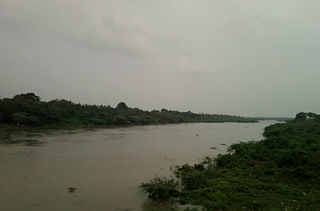
Daudkandi is an upazila of Comilla District in the Division of Chittagong, Bangladesh.
Senbagh, also spelt Senbag and Senbug, is an upazila of Noakhali District. It is named after its administrative centre, the municipality of Senbagh.

Dighalia is an upazila of Khulna District in the Division of Khulna, Bangladesh.

Biral is an upazila of Dinajpur District in the Division of Rangpur, Bangladesh.
Santhia is an upazila of Pabna District in the Division of Rajshahi, Bangladesh.

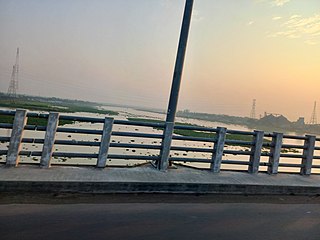
Rangpur Sadar is an Upazila of Rangpur District in the Division of Rangpur, Bangladesh. Its headquarters are in Rangpur.
Mentada is a village in Vizianagaram district of the Indian state of Andhra Pradesh, India.
Kotabommali is a mandal in the Srikakulam district of the Indian state of Andhra Pradesh.

Đức Thọ is a rural district of Hà Tĩnh province in the North Central Coast region of Vietnam. The village of Đông Thái, where the noted 19th-century anti-colonial leader Phan Đình Phùng was born, is located in Đức Thọ. As of 2003 the district had a population of 117,730. The district covers an area of 203 km². The district capital lies at Đức Thọ.

Saltora is a community development block that forms an administrative division in the Bankura Sadar subdivision of the Bankura district in the Indian state of West Bengal. Block Development officer Name - Mr.Manas Kumar Giri
Jacmel is an arrondissement in the Sud-Est department of Haiti. As of 2015, the population was 338,728 inhabitants.
BoughaPokharathok is a village development committee in Palpa District in the Lumbini Zone of southern Nepal. At the time of the 1991 Nepal census it had a population of 2238 people living in 432 individual households.

Zadran District is a district of Paktia Province, Afghanistan. The district is within the heartland of the Zadran tribe of Pashtuns. The soccer player Djelaludin Sharityar was born in Zadran. The estimated population is 27,007 (2019).
Adjarra II is an arrondissement in the Ouémé department of Benin. It is an administrative division under the jurisdiction of the commune of Adjarra. According to the population census conducted by the Institut National de la Statistique Benin on February 15, 2002, the arrondissement had a total population of 7604.
Al-Bejaa is a Syrian village in the Qatana District of the Rif Dimashq Governorate. According to the Syria Central Bureau of Statistics (CBS), Al-Bejaa had a population of 1,058 in the 2004 census.
Visoka is a village in the Kardzhali Municipality, which is in the Kardzhali Province, in southern Bulgaria. As of 1 January 2007, the population of Visoka is 2 people, making it one of the least populated villages in the Kardzhali Municipality.


